


01 / 02
6 - Boucle du lac de la Rosière
Zugang
Ausgehend von :
Breitengrad :
6.659863
Längengrad :
45.41031
Kartenref. :
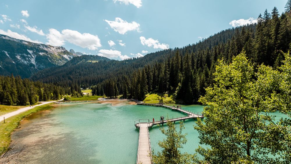
This snowshoe trail takes you through an untamed landscape to the imposing Lac de la Rosière, with the majestic Dent du Villard looming in the background.
Access to the starting point by free shuttle bus (Roc Sabal stop) or on foot from the Courchevel Moriond snow front (itinerary I).
From the Roc Sabal bend, follow the wide groomed path that runs flat into the forest for 750m. Look for a small path that descends to the left into the Laition forest. This leads to the Lac de la Rosière path. Immediately turn right onto a small path that cuts through the forest to reach the bottom of the valley, with a view of the lake. Close to the large barbecue, take a path that goes deep into the forest and then climbs steeply upwards. At the first crossroads, turn right and then, 50 m further on, left along a steep path that continues to climb through the forest.
This leads to the wide Chemin de la Rosière, which you follow up to the Route du Belvédère at the Miléade club village. Turn left up the road to the starting point.
Be careful not to park at the foot of the Dent du Villard avalanche paths.
Leistungen
Preise
Kostenlos.
Zeitraum(e) der Praxis
Von 01/12 bis 30/04
Nur bei günstigen WetterbedingungenNur bei günstigen Schneeverhältnissen
Empfang
Haustiere akzeptiert
1/2

Sehenswürdigkeiten in der Umgebung
Unsere Wanderungen erkunden

Laufsportarten
Rocher de Villeneuve
Courchevel
15.7km
Rot
1300m
1300m

Laufsportarten
La Saulire - Lac des Creux
Courchevel
7.6km
Wanderer
0m
930m
Nach einem Halt am höchsten Punkt von Courchevel und einem Gruß an den Mont Blanc fahren Sie hinunter ins Zentrum des Ortes.

Laufsportarten
Brèche de Portetta
Courchevel
11.4km
Wanderer
830m
830m


