

Walking tour of the Plan d'Amont dam
Zugang
Ausgehend von :
Breitengrad :
6.725209
Längengrad :
45.2533
Kartenref. :
Map IGN 3534OT - Les Trois Vallées
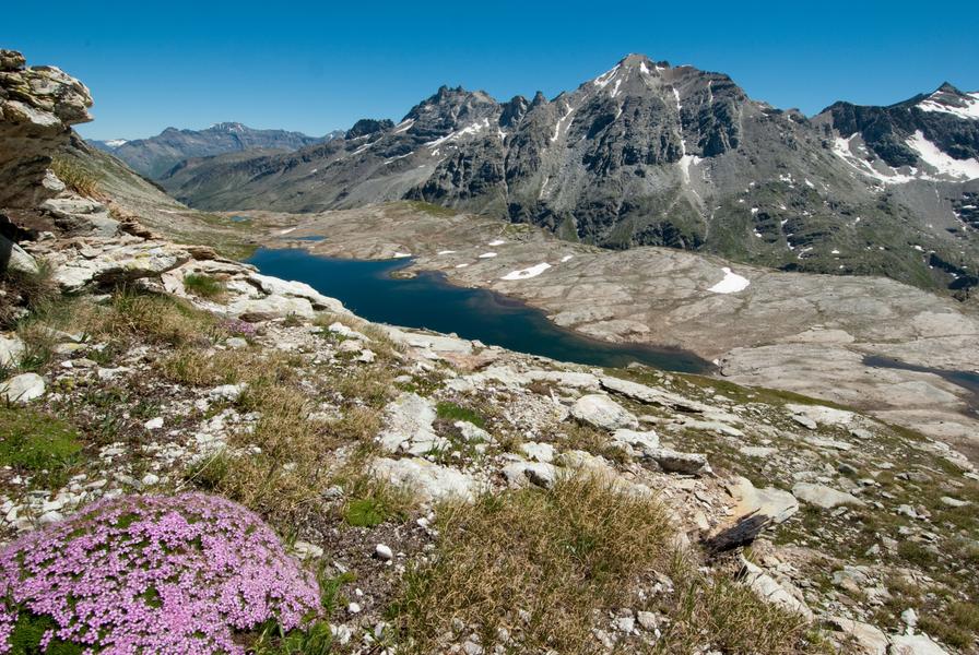
Enjoy a walk along this terraced path, eyes drawn to the hypnotising colours
of the lake. Feel the serenity as you cross the sunny alpine pastures and
clearings. Hike right into the Vanoise National Park. You'll feel like you're
a million miles from home!
If you love views of landscapes dramatically falling away from you, then every
step of this hike will be a delight. The artificial lake, twinkling like a diamond
in its case, attracts your eyes every time you look up towards the horizon.
Whatever the season, the colours cast a magic spell. Even the marmots'
little cries of alarm won't take your attention from the satin-smooth surface.
This water basin in the high-altitude grasslands plays a crucial role in storing
water for the neighbouring valley. Like its downstream counterpart, Plan
d'Amont's hydroelectric dam is used, among other things, to power ONERA's
international wind tunnel, a flagship aerospace research project that tests
model aircraft and rockets.
At La Fournache refuge, take a rest as you imagine all those seasoned
mountaineers heading towards Pointe de Labby or Dent Parraché, majestically
rising up above you to a height of over 3,500 metres above sea level.
Leistungen
Preise
Freier Zugang.
Zeitraum(e) der Praxis
Von 15/05 bis 15/10
Nur bei günstigen WetterbedingungenNur bei günstigen Schneeverhältnissen
Empfang
Haustiere werden nicht akzeptiert
Sehenswürdigkeiten in der Umgebung
Unsere Wanderungen erkunden

Laufsportarten
Trail de la dent du Villard - 9km
Courchevel
9km
Rot
940m
940m
Ein permanenter, bergtypischer Trail!

Laufsportarten
Courchevel
6km
Grün
175m
175m
Ein permanenter, bergtypischer Trail!

Laufsportarten
Col de la Loze par Dos des Branches
Courchevel
14.7km
Wanderer
960m
960m


