
Cycling in Pralognan
Access
Starting from :
Latitude :
6.646812
Longitude :
45.442426
Map ref. :
Explore Savoie cycling map available from the tourist office.
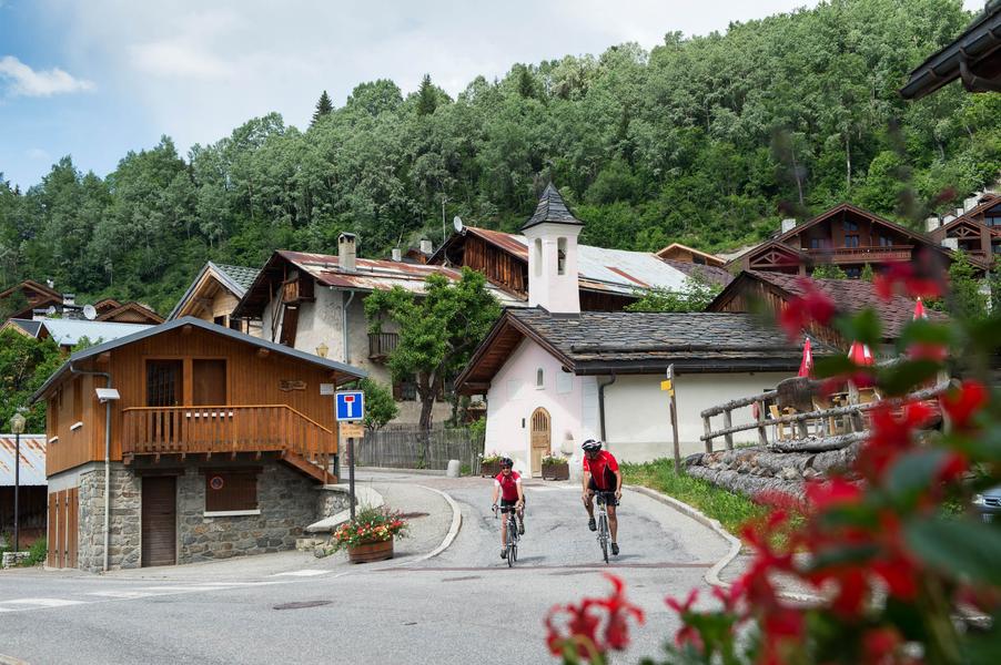
A steady climb from Bozel to Pralognan, then on to Les Prioux in the heart of the Vanoise National Park at 1750 m altitude.
Services
Rates
Free access.
Period(s) of use
From 15/03 to 30/10
Home
Pets allowed
Things to discover nearby
Explore our hikes

Pedestrian sports
Contemplation trail
Courchevel
1.6km
Walkers/hikers
135m
135m
This original trail, designed for a wide audience, invites walkers to discover nature in the heart of the Mateigena forest, in a sensitive and immersive way.

Pedestrian sports
24 - Sandraz - Bois du Ban (été)
Courchevel
3.4km
Walkers/hikers
90m
140m
This path takes you to Kamelot Camp amongst the fir trees, where you can refuel at the little Canadian-style cabin and sample fun, original activities at the lake.

Pedestrian sports
Lacs Merlet - Col de Chanrouge
Courchevel
16.7km
Level red – hard
810m
810m
Extend your walk for a view out over a third lake, the Lac du Pêtre. From the mountain pass, enjoy unrivalled views of the Courchevel valley, the La Plagne ski area and the Mont Blanc mountain range.


