
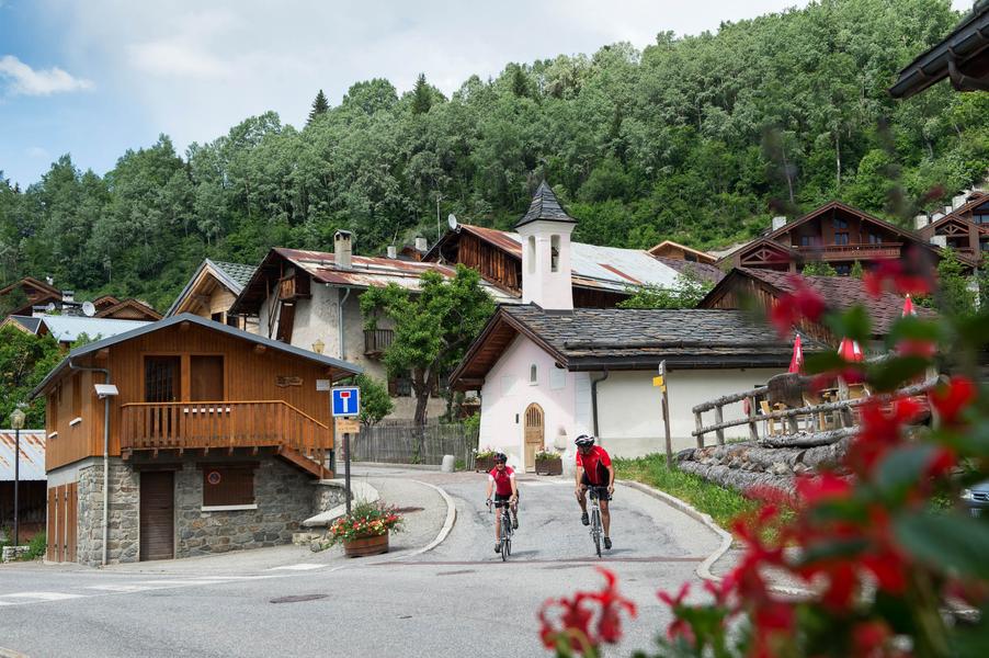
Cycling up Col de la Loze (Courchevel side)
Access
Starting from :
Latitude :
6.566466
Longitude :
45.452507
Map ref. :
Explore Savoie cycling map available from the tourist office.
The road ends at the altiport, at an altitude of over 2000 m. Kilometre posts and a timing system have been installed so cyclists can time their ascent.
Courchevel has hosted the Tour de France on three occasions.
Services
Rates
Free access.
Period(s) of use
From 01/05 to 30/10
Home
Pets allowed
Things to discover nearby
Explore our hikes

Pedestrian sports
Circuit de la Nouvaz
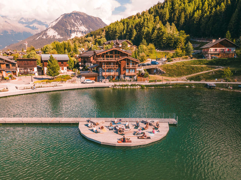
Courchevel
2km
Walkers/hikers
140m
140m
This path leads to the pretty hamlet of La Nouvaz, where it passes underneath a stone arch between 2 houses then climbs back up and loops through the forest. May be combined with Le Chemin des Chevreuils path.

Pedestrian sports
Jardin Alpin
Courchevel
km
-m
-m
Despite being an urban walk, this route includes a few green spots, and will take you to discover some of the resort’s most beautiful hotels.

Pedestrian sports
Chemin du moulin de Villaflou
Courchevel
4.2km
Walkers/hikers
270m
270m
This orchard trail links the hamlets of Villaflou, which has an authentic watermill, and Le Freney.


