


01 / 02
Loza walking tour
Access
Starting from :
Latitude :
6.805526
Longitude :
45.264204
Map ref. :
Map IGN 3634OT - Val Cenis Map IGN 3534OT - Les Trois Vallées
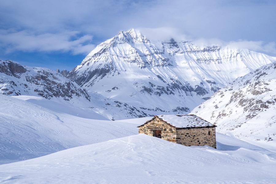
This hike is full of contrasts, skilfully leading you from a wooded atmosphere to high-altitude alpine meadows and pastures. The south-facing slope is perfect for off-season hikes that demand a certain amount of sunshine.
Ready to cross the 1,000-metre threshold in elevation gain? Have you ever heard Scots pine cones popping under the sun's rays? It's a sound you're bound to hear on this long, sustained ascent through the fragrant pine forest towards the Mont at 1,770 metres of altitude. You may also catch a glimpse of snow heather, a rare and protected plant, dressed in beautiful shades of pink. It's such an early bloomer that its petals somehow manage to burst through the last snows. The open clearing now gives way to another ascent – the hike's last challenging climb. Bursting with pride, you enter Vanoise National Park. The slope grows gentler as you reach Croix de la Loza. Take a seat at this observation post. Before you rise the peaks of Bramanais and Mont Cenis, sometimes wrapped in clouds blown by the Lombarde wind. Take care as you descend into the Bonne Nuit valley. From its impressive altitude of 3,695 metres, Dent Parrachée and its sharp ridges command respect. Imagine the spectacular avalanches that sometimes cascade down Sollières in winter! As you go down, make sure you take plenty of refreshing breaks and tie up your laces properly.
Services
Rates
Free access.
Period(s) of use
From 01/06 to 15/10
Subject to favorable weatherSubject to snow conditions
Home
Pets not allowed
1/2

Things to discover nearby
Explore our hikes

Pedestrian sports
Sentier des Verdons
Courchevel
2.8km
Walkers/hikers
10m
320m
This route takes you up in a gondola lift, giving you great views of the Grande Casse (highest peak in the Savoie region: 3,855m). Look out for marmots on the ledge 100 metres from the gondola lift station. Watch out for cyclists and golfers.

Pedestrian sports
Chemin des Travers (Buisson, Fontanil, Cuerdy)
Courchevel
2km
Walkers/hikers
30m
180m
Explore the hamlets of Saint-Bon, where time seems to stand still. Ask for a copy of the heritage guide at any tourist office : it tells you all about them. Shuttlebus available for return journey.

Pedestrian sports
Les secrets de la cabane du lac
Courchevel
km
Children
-m
-m
An adventure is waiting for you by the lake! Bring the whole family along and set off on a fun orienteering course. Follow the clues, solve riddles, and explore the great outdoors as you go!


