
Modzon
Access
Starting from :
Latitude :
6.610261
Longitude :
45.382974
Map ref. :
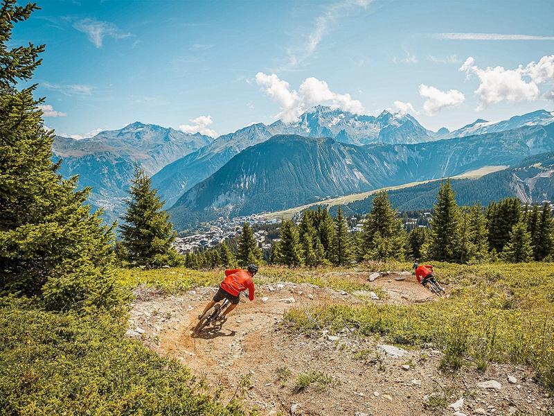
Red trail, between the summit of La Saulire and the Cave des Creux
Services
Rates
Free access.
Period(s) of use
From 01/07 to 31/08
Subject to favorable weather
Home
Pets not allowed
Things to discover nearby
Explore our hikes

Pedestrian sports
Sentier découverte du Grand Bois
Courchevel
3.5km
Walkers/hikers
20m
510m
Take the gondola lift up to the top and read up about the area on the signs along the way: snow, avalanches, ants, spruce trees, Alpine meadows, countryside, fauna, flora and the built environment.

Pedestrian sports
Contemplation trail
Courchevel
1.6km
Walkers/hikers
135m
135m
This original trail, designed for a wide audience, invites walkers to discover nature in the heart of the Mateigena forest, in a sensitive and immersive way.

Pedestrian sports
Arête de la Saulire - Col du Fruit
Courchevel
10.2km
Walkers/hikers
140m
450m
This route gives you a taste of the high mountainside and the wild natural landscape at the entrance to the Vanoise National park. Amazing panoramic views over the Courchevel and Méribel valleys.


