

01 / 02
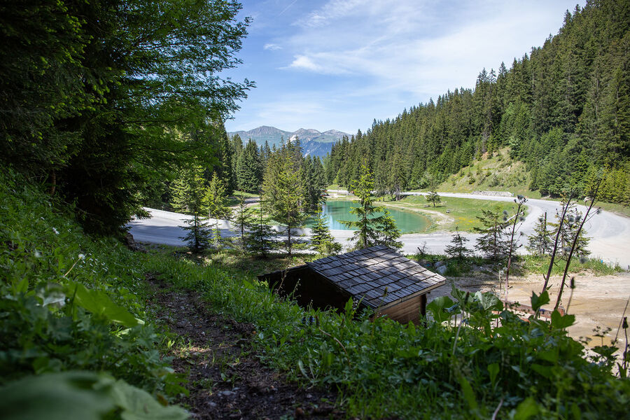
Plan du Vah - Sentier des Tufs
Access
Starting from :
Latitude :
6.648425
Longitude :
45.414869
Map ref. :
This path takes you on the shores of Plan du Vah lake, amongst the fir trees, where you can refuel at the little Canadian-style cabin and enjoy fun and original activities at the lake.
Services
Rates
Free access.
Period(s) of use
From 01/05 to 31/10
Subject to favorable weather
Home
Pets allowed
1/2

Things to discover nearby

Explore our hikes

Pedestrian sports
Courchevel Le Praz - Montcharvet - La Jairaz
Courchevel
6.9km
Quite hard
150m
150m
This panoramic circuit enjoys unobstructed views of the Grand Bec and villages on the opposite mountainside. The route might be a little long for anyone who isn’t used to walking.

Pedestrian sports
Courchevel
5.5km
Level green – easy
290m
300m

Pedestrian sports
Lacs Merlet
Courchevel
9km
Children
470m
470m
Explore two jewels of the Vanoise national Park – the upper lake is the deeper of the two (28m).


