
The heights of Courchevel 1850
Access
Starting from :
Latitude :
6.634445
Longitude :
45.3956
Map ref. :
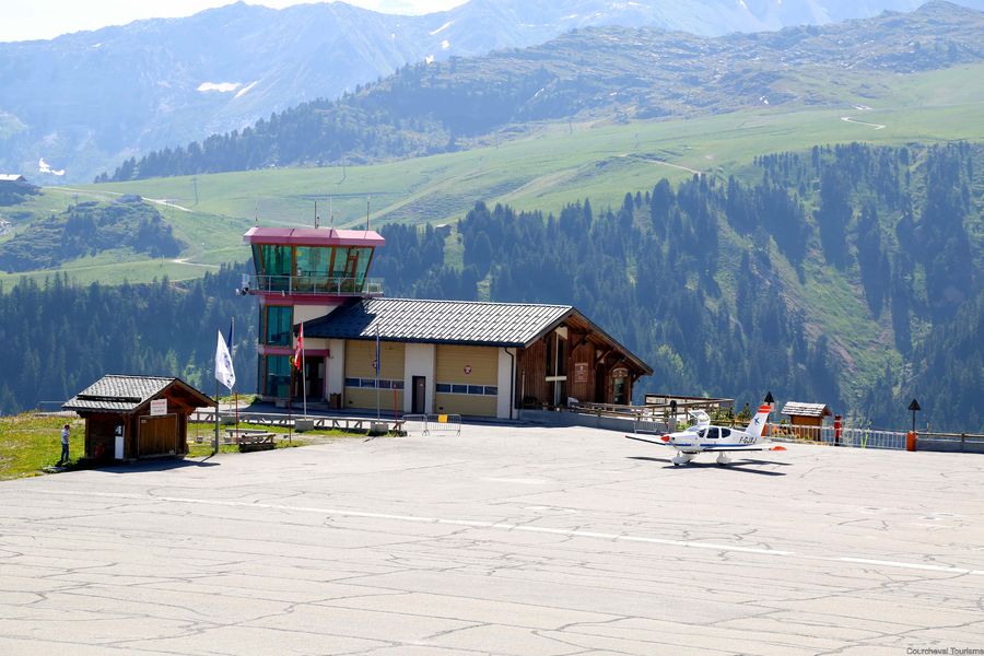
From the top of the altiport down to the heart of the resort, with amazing panoramic views and beautiful chalets on the side of the slopes, Courchevel 1850 is full of surprises.
From the Altiport, go downhill alongside the road, cross the Pralong farm (on your right) just after the tunnel then follow the Zen slope (stay on the right side). After a short ascent, reach the Bellecôte ski run (stay on the right side) which will lead you back to the center of Courchevel 1850.
Services
Rates
Free of charge.
Period(s) of use
From 01/12 to 30/04
Subject to favorable weatherSubject to snow conditions
Home
Things to discover nearby
Explore our hikes

Pedestrian sports
Dent du Villard
Courchevel
9.8km
Level red – hard
740m
740m
With its remarkable geological features, Courchevel’s iconic peak has an amazing landscape and wonderful panoramic views. Be careful when approaching the big ravines.

Pedestrian sports
Boucle de Mateigena
Courchevel
2.4km
Walkers/hikers
130m
130m
This shortish and rather steep path winds through the forest, taking you to a pretty clearing and some ponds.

Pedestrian sports
Courchevel
9.1km
Level green – easy
490m
490m


