

Chemin pédestre de la Duis
Acceda a
A partir de :
Latitud :
7.091144
Longitud :
45.380079
Mapa de referencia :
Map IGN 3633ET - Tignes Val-d'Isère
Congratulations! You've discovered a haven of peace, perfect for a stroll
on the banks of a major torrent in the Haute Maurienne Vanoise. Embark
on an adventure in a valley sculpted by the Arc river, at an impressive
altitude of 2,000 metres right in the centre of the Vanoise National Park.
The tall willowherbs, gently caressed by the breeze, greet you with grace
as you pass by. In shades of vibrant fuchsia pink, they wipe everyday life
from your mind and the crowds of visitors you encountered at Écot become
a distant memory.
Your feet are flying along this easy alpine trail, and around a bend, you enter
the Duis valley, humbly protecting the Sources de l'Arc, high up there, under
the glaciers of the Clavarini and Girard peaks.
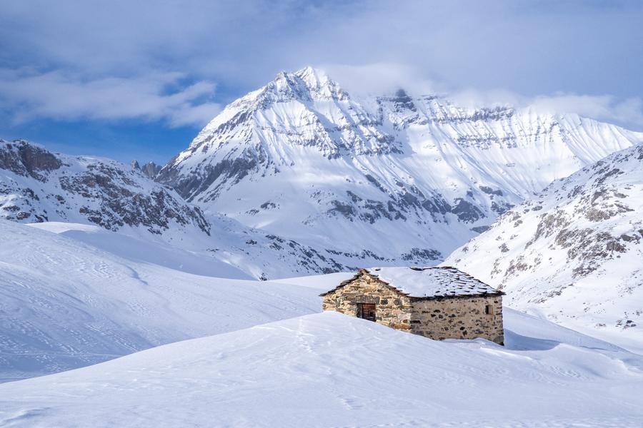
The welcoming chalets of Duis appear, as the last signs of human presence
in this little haven of peace that just begs to be preserved.
Mesmerised by the tumbling torrent, your gaze transfixed by the cool blue
waters, you find you're already sitting down for a peaceful rest. But how far
will this agile trout swim among the rocks? Would it give us permission to
dip our hands in just for a moment, to cool off? No, of course not. The thick
cream we use to avoid bad sunburns isn't her best friend…
Servicios
Precios
Acceso libre.
Período(s) de utilización
De 15/06 a 15/10
A reserva de buen tiempoA reserva de nieve suficiente
Inicio
No se aceptan mascotas
Para descubrir en los alrededores
Explore nuestros paseos

Deportes pedestres
Sentier découverte du Grand Bois
Courchevel
3.5km
Senderistas
20m
510m

Deportes pedestres
Courchevel
9.1km
Verde
490m
490m

Deportes pedestres
Chemin de Villarnard
Courchevel
3.2km
Senderistas
0m
580m
Este sendero conduce a la aldea de Villarnard, testimonio del patrimonio local. Regreso en autobús lanzadera (parada Perrière Saint Jean - Línea I).


