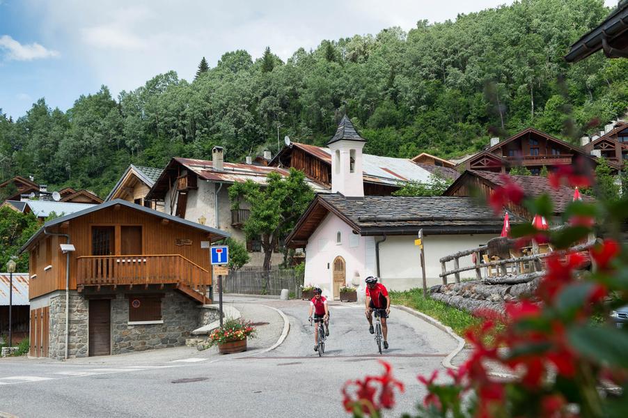
Cycling up Col de la Loze (Courchevel side)
Acceda a
A partir de :
Latitud :
6.566466
Longitud :
45.452507
Mapa de referencia :
Explore Savoie cycling map available from the tourist office.
The road ends at the altiport, at an altitude of over 2000 m. Kilometre posts and a timing system have been installed so cyclists can time their ascent.
Courchevel has hosted the Tour de France on three occasions.
Servicios
Precios
Acceso libre.
Período(s) de utilización
De 01/05 a 30/10
Inicio
Se admiten animales