Petit Mont Blanc
Acceda a
A partir de :
Latitud :
6.660476
Longitud :
45.408286
Mapa de referencia :
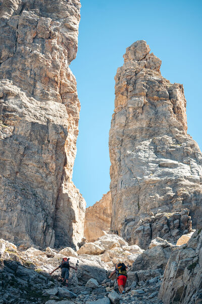
Enjoy 360° panoramic views from the Vanoise glaciers to Mont Blanc.
The peak takes its name from its rounded shape, similar to that of its big brother, and the gypsum that looks like snow.
Several return variants are possible to make a loop:
PASSAGE DE PLASSA (8')
- walking time: 9h30
- distance: 24.7 km
- altitude difference: D+ 1300 m / D- 1300 m
This path leads to a monumental cairn (3.5 m). Beyond the passage unfolds a vast scree where the remains of a plane crashed on December 19, 1969 can be discerned.
COL DE MEY (8'')
- walking time: 8h30
- distance: 20.3 km
- altitude difference: D+ 1270 m / D- 1270 m
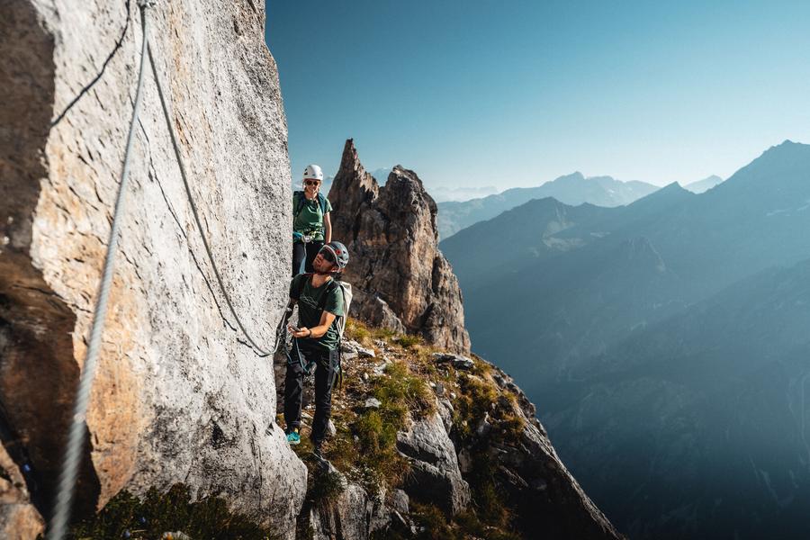
For the more experienced, a rocky walkway equipped with a cable allows you to continue up to the Col de Mey. Not recommended if you're afraid of heights!
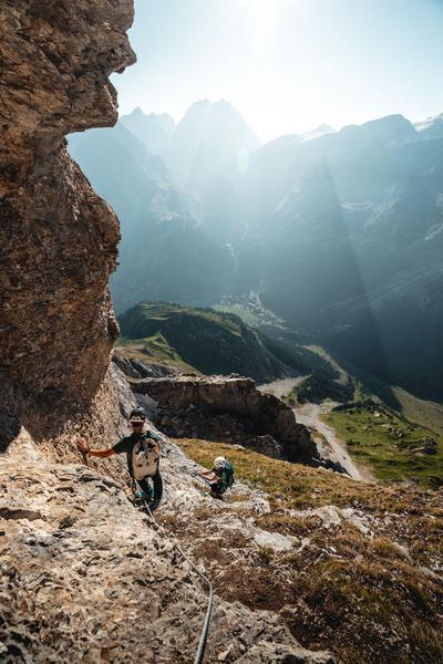
VIA CAVO DEL MEY, the vertigo hike (via cordata)
- route time: 1h00
- distance: 0.8 km
- difference in altitude: D+ 180 m
Reserved for adventurers and thrill-seekers, Courchevel's newest hike is... vertigo-inducing. A cabled route over rocky ledges facing the Vanoise glaciers.
Warning: helmet, lanyards and harness compulsory!
Servicios
Precios
Acceso libre.
Período(s) de utilización
De 01/05 a 31/10
A reserva de buen tiempo
Inicio
Se admiten animales