

S3 - Tour of the Aiguille du Borgne - from the Refuge du Saut
Acceda a
A partir de :
Latitud :
6.632338
Longitud :
45.337487
Mapa de referencia :
carte de randonnée IGN 3534OT- « Les 3 vallées-Modane- Parc National de la Vanoise »
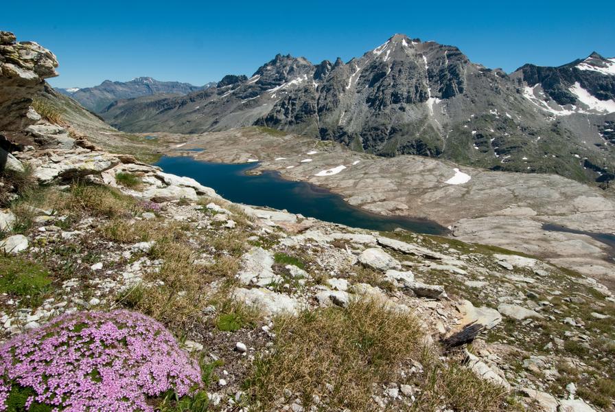
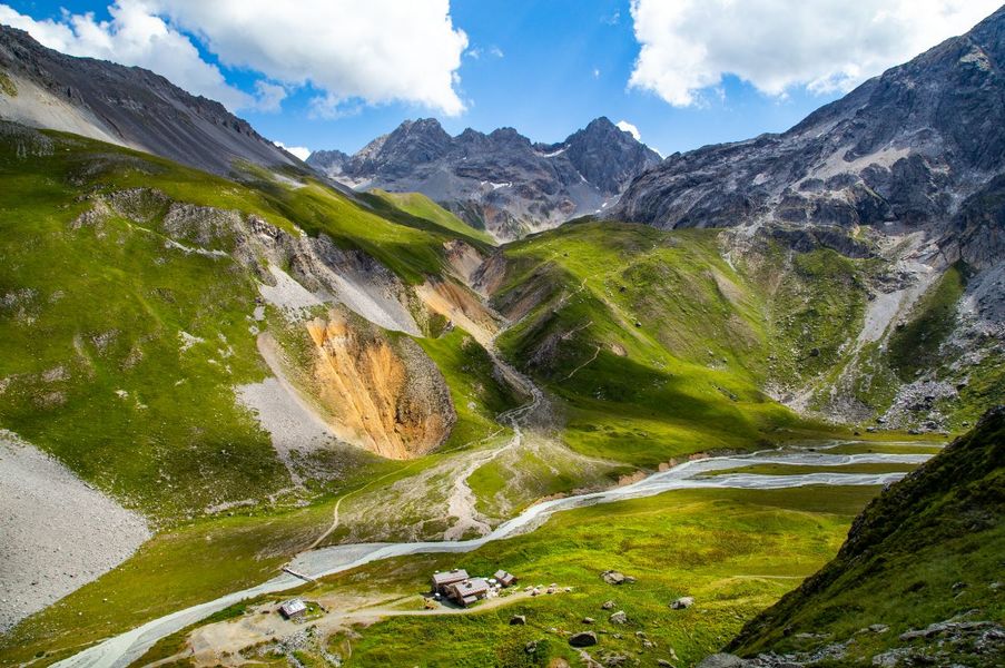
A long hike from the Refuge du Saut takes you all the way around the Aiguille du Borgne.
Possibility of spending one or 2 nights at the Refuge du Saut. Tip: Be accompanied by a professional, as the passages are technical and unmarked.
Servicios
Precios
Gratis.
Período(s) de utilización
De 15/06 a 15/09
A reserva de buen tiempoA reserva de nieve suficiente
Inicio
No se aceptan mascotas
Accesibilidad
Criterios de accesibilidad
No accesible en silla de ruedas
Para descubrir en los alrededores
Explore nuestros paseos

Deportes pedestres
Sentier des Verdons
Courchevel
2.8km
Senderistas
10m
320m

Deportes pedestres
Chemin des chevreuils
Courchevel
4.1km
Verde
100m
100m

Deportes pedestres
Courchevel
5km
Solo para expertos/confirmados
1000m
1000m
Un sendero de montaña permanente


