

Sétéria Bridge Walking Loop
Acceda a
A partir de :
Latitud :
6.724963
Longitud :
45.253391
Mapa de referencia :
Map IGN 3534OT - Les Trois Vallées
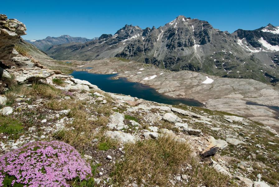
Embark on an adventure in the Vanoise National Park... Marmots accompany
you on the lush high-altitude meadows as sparkling streams joyfully
bubble their way down the mountain. With your family or on your own,
this hike's a relaxing first step towards Fond d'Aussois.
To fully enjoy the tranquility and secure a parking spot, we recommend doing
this sunny hike in the spring or autumn.
In the summer, it's best to set off with the first breezes so you can hear the
morning calls of the marmots. Bounding along to nibble on their breakfast
amidst rhododendrons and tall grasses, they'll gladly accompany you, so
long as you stay quiet.
After pausing to watch them, you pick up the pace and as the path gets
slightly steeper, you sometimes feel the pebbles rolling under your feet.
The few mountain bikers you pass smile at you and seem to say: "just a bit
further and you'll get what you deserve: a stunning view of the lakes and
Dent Parraché, queen of the realm".
When you get to the bridge, you promise yourself that, on your next trip,
you'll go even further.
In the meantime, you can choose to either head back the way you came or
cross the Saint-Benoît torrent to return via the Fournache refuge. Isn't there
a waterfall of the same name a little lower down? Here's a hint: see you
under the Avrieux sun...
Servicios
Precios
Acceso libre.
Período(s) de utilización
De 01/06 a 15/10
A reserva de buen tiempoA reserva de nieve suficiente
Inicio
No se aceptan mascotas
Para descubrir en los alrededores
Explore nuestros paseos

Deportes pedestres
Tour de la Dent
Courchevel
12.9km
Senderistas
1080m
1080m

Deportes pedestres
Camino de contemplación
Courchevel
1.6km
Senderistas
135m
135m
Este original sendero, dirigido a un público amplio, invita a los senderistas a descubrir la naturaleza en el corazón del bosque de Mateigena, mediante un enfoque sensible e inmersivo.

Deportes pedestres
Sentier botanique et Cascade des Poux Forêt du Laition
Courchevel
4.8km
Senderistas
230m
230m


