

Vanoise pass and refuge hike
Acceda a
A partir de :
Latitud :
6.828907
Longitud :
45.329511
Mapa de referencia :
Map IGN 3633ET - Tignes Val-d'Isère Map IGN 3534OT - Les Trois Vallées
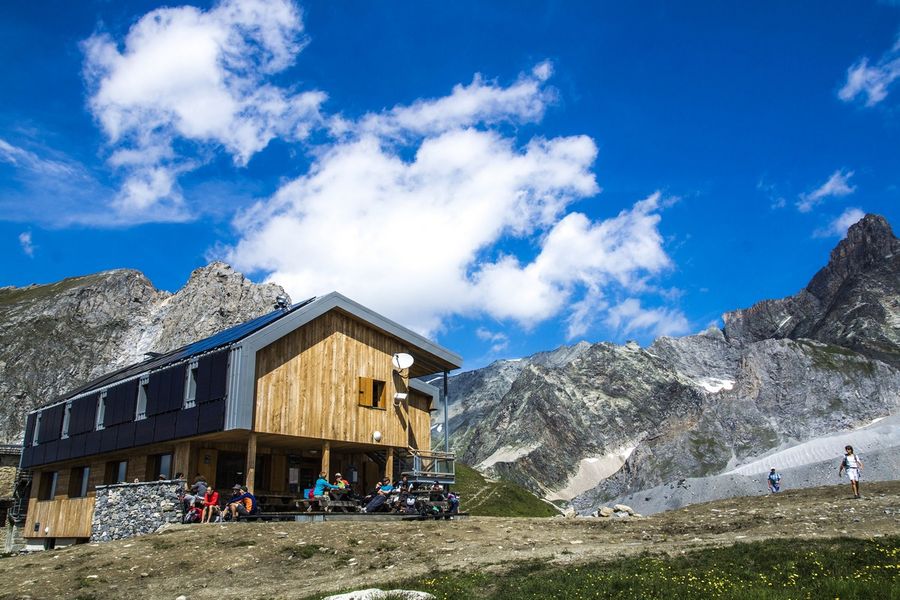
Get up close and personal to the glaciers of the Vanoise, at altitudes of up to 2,500 metres. Embark on a journey along one of the National Park's most iconic routes. For the ultimate high-mountain experience, what better than passing through three refuges?
To fully appreciate this hike, you'll probably want to spend a night in one of our
a night in one of the refuges along the way. Adventure in the land
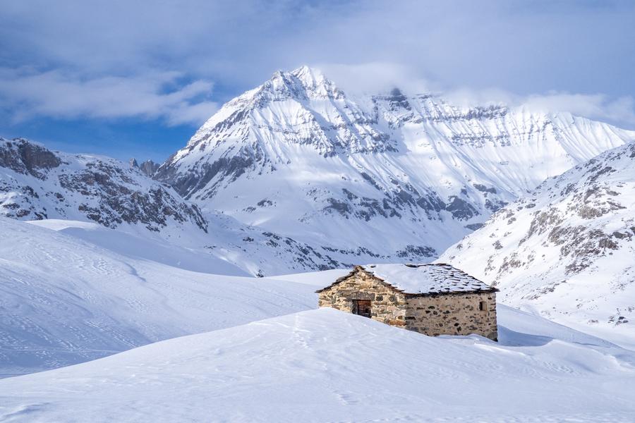
of high-altitude meadows and wide-open spaces. As you approach the Plan du Lac refuge, you enter the world of marmots, chamois and lammergeiers. In the distance, the road ahead still seems long, and the glaciers seem to approach as you walk. Framed by La Grande Casse and Pointe de la Réchasse, follow in the footsteps of seasoned mountaineers. The sometimes steep climbs contrast with the long, welcoming valley that awaits you. A string of lakes - and the passage of many hikers in summer - announce your proximity to the pass. Another world opens up on the outskirts of Lac Rond. For those accustomed to the area, the retreat of the glaciers is obvious.
Servicios
Precios
Acceso libre.
Período(s) de utilización
De 15/06 a 01/10
A reserva de buen tiempoA reserva de nieve suficiente
Inicio
No se aceptan mascotas
Para descubrir en los alrededores
Explore nuestros paseos

Deportes pedestres
Crête des Gravelles
Courchevel
3.3km
Senderistas
270m
270m
"Suba a una pequeña cumbre bucólica, con sus tonalidades gris-amarillentas. En parte roca, en parte bosque, es posible cruzarse con ardillas y, a veces, incluso corzos. Para combinar con actividades o un picnic (y otros) a orillas del lago de Plan du Vah".

Deportes pedestres
Lacs Merlet
Courchevel
9km
Adecuado para principiantes
470m
470m

Deportes pedestres
Passage de Plassa
Courchevel
24.7km
Senderistas
1300m
1300m


