
Cycling in Pralognan
Accesso
Partendo da :
Latitudine :
6.646812
Longitudine :
45.442426
Riferimento mappa :
Explore Savoie cycling map available from the tourist office.
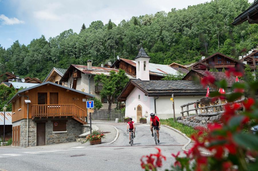
A steady climb from Bozel to Pralognan, then on to Les Prioux in the heart of the Vanoise National Park at 1750 m altitude.
Servizi
Prezzi
Accesso libero.
Periodo(i) di utilizzo
Da 15/03 a 30/10
Casa
Animali domestici ammessi
Da scoprire nei dintorni
Esplora le nostre passeggiate

Sport pedestri
Chemin des chevreuils
Courchevel
4.1km
Livello verde – facile
100m
100m

Sport pedestri
Circuit de la Nouvaz
Courchevel
2km
Escursionisti
140m
140m
Questo sentiero conduce alla graziosa frazione di La Nouvaz, dove passa sotto un arco di pietra tra due case e poi risale attraverso un anello nel bosco. Può essere combinato con lo chemin des chevreuils.

Sport pedestri
Petit Mont Blanc
Courchevel
20.2km
Livello rosso – difficile
970m
970m


