


01 / 04
Via Cavo del Mey
Accesso
Partendo da :
Latitudine :
6.690214
Longitudine :
45.377707
Riferimento mappa :
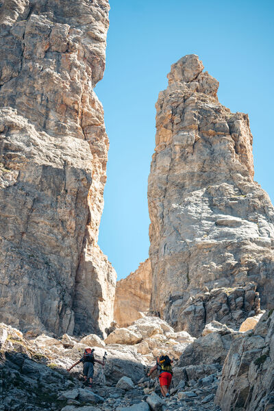
Reserved for adventurers and thrill-seekers!
A cable course over rocky ledges facing the Vanoise glaciers.
At an altitude of 2780 m, the "vertigo trail" of the Via Cavo del Mey, or "Tour de l'Aiguille de Mey", is accessible thanks to the installation of a handrail.
Some sections are akin to a via ferrata.
You need to reach the Brèche de la Portetta, then continue along the impressive rock towers to reach the starting point at the foot of the Aiguille de Mey wall.
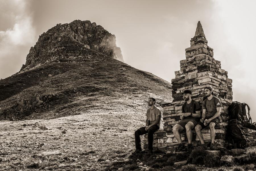
In a breathtaking, aerial setting, where rock dominates space, the cabled high-altitude trail offers a superb panorama of the Vanoise ice cap, Grande Casse and Aiguille du Fruit.
IMPORTANT
Before embarking on a via ferrata, you must :
- know and apply safety instructions
- know the main via ferrata hazards
- ascertain the expected level of difficulty and your current physical abilities
- equip yourself with warm clothing and the right technical equipment (and use it correctly)
- make sure none of the components are part of products recalled by manufacturers
If you have any doubts, don't hesitate to ask a professional mountain guide to help you.
Servizi
Prezzi
Accesso libero.
Periodo(i) di utilizzo
Da 01/06 a 30/09
Casa
Non si accettano animali domestici
1/4

Da scoprire nei dintorni
Esplora le nostre passeggiate

Sport pedestri
Les prairie de Pralin-Mugnier
Courchevel
2.4km
Livello verde – facile
70m
70m

Sport pedestri
Circuit de la Nouvaz
Courchevel
2km
Escursionisti
140m
140m
Questo sentiero conduce alla graziosa frazione di La Nouvaz, dove passa sotto un arco di pietra tra due case e poi risale attraverso un anello nel bosco. Può essere combinato con lo chemin des chevreuils.

Sport pedestri
Plan du Vah - Sentier des Tufs
Courchevel
3.1km
Escursionisti
130m
130m
Questo sentiero raggiunge il lago di Plan du Vah in mezzo agli abeti, dove potrete fare il pieno di energia presso il piccolo rifugio in stile canadese e praticare attività divertenti e originali intorno al lago.


