

Cycling up to Val Thorens via Côte-Derrière
Доступ
Начало :
Широта :
6.531927
Долгота :
45.484853
Ссылка на карту :
Explore Savoie cycling map available from the tourist office.
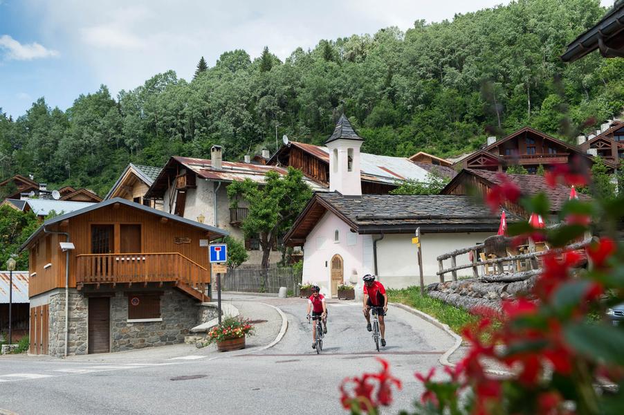
1354 Points -This variant of the classic ascent to Val Thorens is just as long and difficult as the other, but has the advantage of greater tranquillity.
Une variante agréable qui evite le passage sur la route principale. Mais attention, le village de St Laurent de la côte ne porte pas son nom par hasard ! Il vous faudra enchainer rudes épingles et forts pourcentages pour y parvenir avant de rejoindre ensuite la route classique à St Martin. Cette ascension a vu le passage du tour de France en 2019 lors d'une courte étape Albertville-Val Thorens.
Услуги
Цены
Вход свободный.
Период(ы) использования
От 01/05 до 30/10
Дом
Разрешено проживание с домашними животными
Что стоит посетить поблизости
Ознакомьтесь с нашими прогулками

Пешеходные виды спорта
Circuit de la Nouvaz
Courchevel
2km
Любители пеших походов
140m
140m
Эта тропинка ведет в симпатичную деревушку Ла-Нуваз, где она проходит под каменной аркой между двумя домами, а затем поднимается обратно через петлю в лесу. Ее можно совместить с тропой Chemin des chevreuils.

Пешеходные виды спорта
Crêtes du Mont Charvet
Courchevel
11km
Любители пеших походов
830m
830m

Пешеходные виды спорта
Col de la Loze par Dos des Branches
Courchevel
14.7km
Любители пеших походов
960m
960m


