
Petit Mont Blanc
Доступ
Начало :
Широта :
6.660476
Долгота :
45.408286
Ссылка на карту :
Enjoy 360° panoramic views from the Vanoise glaciers to Mont Blanc.
The peak takes its name from its rounded shape, similar to that of its big brother, and the gypsum that looks like snow.
Several return variants are possible to make a loop:
PASSAGE DE PLASSA (8')
- walking time: 9h30
- distance: 24.7 km
- altitude difference: D+ 1300 m / D- 1300 m
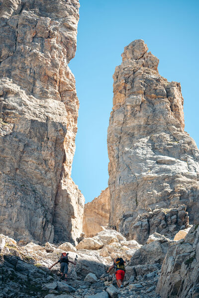
This path leads to a monumental cairn (3.5 m). Beyond the passage unfolds a vast scree where the remains of a plane crashed on December 19, 1969 can be discerned.
COL DE MEY (8'')
- walking time: 8h30
- distance: 20.3 km
- altitude difference: D+ 1270 m / D- 1270 m
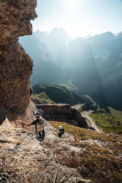
For the more experienced, a rocky walkway equipped with a cable allows you to continue up to the Col de Mey. Not recommended if you're afraid of heights!
VIA CAVO DEL MEY, the vertigo hike (via cordata)
- route time: 1h00
- distance: 0.8 km
- difference in altitude: D+ 180 m
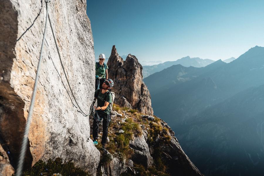
Reserved for adventurers and thrill-seekers, Courchevel's newest hike is... vertigo-inducing. A cabled route over rocky ledges facing the Vanoise glaciers.
Warning: helmet, lanyards and harness compulsory!
Услуги
Цены
Вход свободный.
Период(ы) использования
От 01/05 до 31/10
При благоприятных погодных условиях
Дом
Разрешено проживание с домашними животными
Что стоит посетить поблизости
Ознакомьтесь с нашими прогулками

Пешеходные виды спорта
Tour de la Dent
Courchevel
12.9km
Любители пеших походов
1080m
1080m

Пешеходные виды спорта
Courchevel
km
Очень легкий
-m
-m

Пешеходные виды спорта
Plan du Vah - Sentier des Tufs
Courchevel
3.1km
Любители пеших походов
130m
130m
Эта тропа соединяется с озером План-дю-Вах посреди елей, где вы сможете зарядиться энергией в маленькой хижине в канадском стиле и насладиться веселыми и оригинальными развлечениями вокруг озера.


