Chemin de Villarnard

起点 Courchevel

平均长度 : 1h15

Chemin de Villarnard

访问

起点 :

纬度 :

6.592419

经度 :

45.432747

地图参考 :

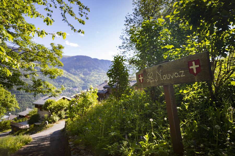
This trail leads to the Villarnard hamlet, a classic example of local heritage. Shuttle bus return.

Route de Praz Juget, after the roundabout (La Tania exit, heading towards Méribel)

By shuttle bus, get off at the “La Tania” stop.

By car, drive to La Tania from Le Praz and park in Le Formier car park, in the centre of La Tania.

Continue on foot, heading towards Méribel until you come to the roundabout at the resort exit. The downhill trail starts on the right 100 metres after the roundabout.

有用信息

起点 Courchevel

平均长度 : 1h15

难度 : 徒步者/徒步旅行者

Aller itinerance

距离 : 3.2 km

0

负坡度 : 580 m

最高海拔 : 1400 m

路标路线

联系我们

电话:

 04 79 08 00 29

电子邮件:

 info@courchevel.com

电话:

 04 79 08 24 14

电子邮件:

 mairie@mairie-courchevel.com

服务项目

价格

免费.

使用时间

从01/05到31/10从01/05到31/10

需天气良好

主页

允许携带宠物
Z

探索我们的徒步路线

missing alt

徒步运动

Courchevel

5km

专家/经验人士

1000m

1000m

一条永久性的山间小径

missing alt

徒步运动

Aquamotion

Courchevel

km

-m

-m

missing alt

徒步运动

Lacs Merlet - Col de Chanrouge

Courchevel

16.7km

困难

810m

810m

探索滑雪道

搜索

雪况报告

搜索

天气预报

度假村

°

上午

°

下午

雪道

°

上午

°

下午

搜索

我们的合作伙伴

Logo Volvo   Discover GroupLogo HesperideLogo La Croix   Sports

标签

Label Courchevel   Famille PlusLabel Courchevel   Villes et Villages Fleuris