


01 / 04
Dent du Villard
访问
起点 :
纬度 :
6.668332
经度 :
45.40769
地图参考 :
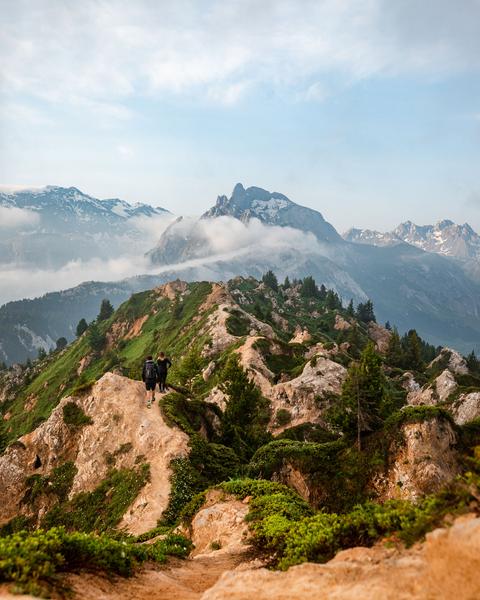
With its remarkable geological features, Courchevel’s iconic peak has an amazing landscape and wonderful panoramic views. Be careful when approaching the big ravines.
La dent du Villard is characterised by a wide variety of natural habitats showcasing every type of geological feature: forests, ericaceous moorland, willow thickets, Alpine and subalpine meadows, tall grass vegetation, cliffs and screes. The sector’s distinct characteristics come from its ancient growth of mountain pines in gypsum (Natura 2000 listed).
服务项目
价格
自由访问.
使用时间
从01/05到31/10
需天气良好
主页
允许携带宠物
1/4

周边探索
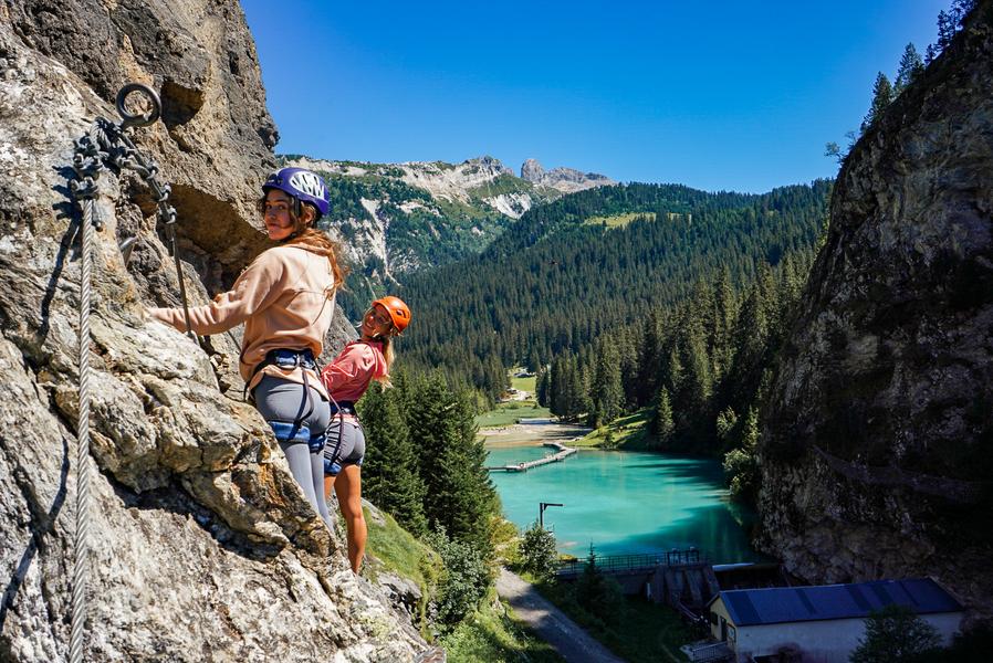
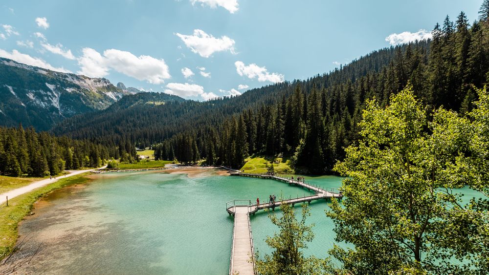
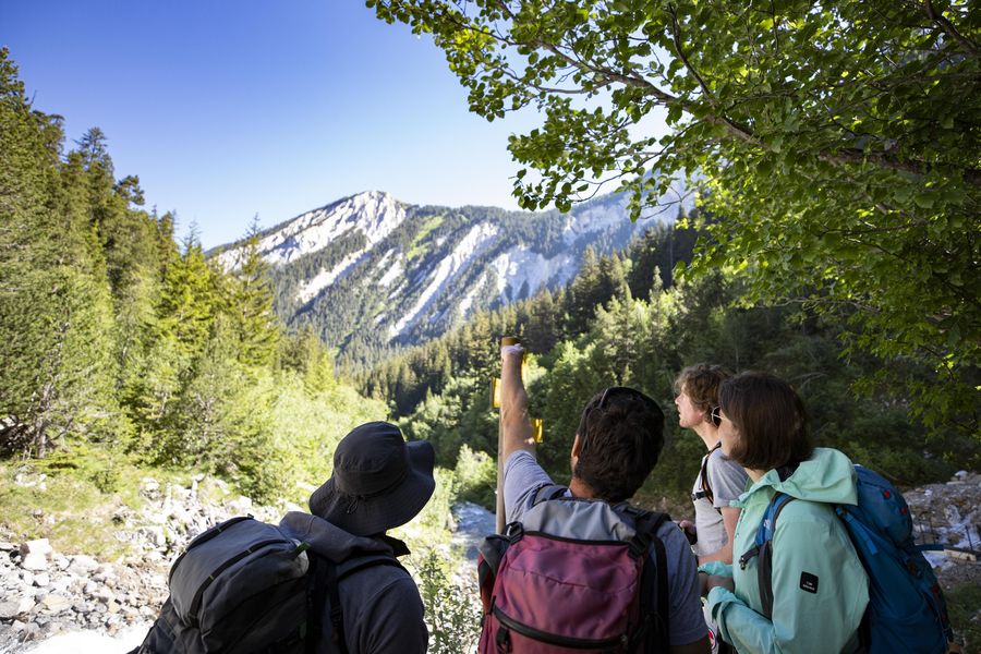
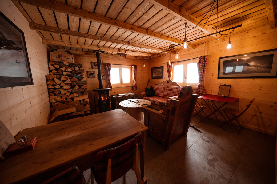
探索我们的徒步路线

徒步运动
维拉德小径 - 9 公里
Courchevel
9km
困难
940m
940m
一条永久性的山间小径

徒步运动
Courchevel
11km
容易
335m
335m
一条永久性的山间小径

徒步运动
Boucle du rocher de la Loze
Courchevel
7.3km
徒步者/徒步旅行者
430m
430m


