Enduro - Intégral
访问
起点 :
纬度 :
6.610261
经度 :
45.382974
地图参考 :
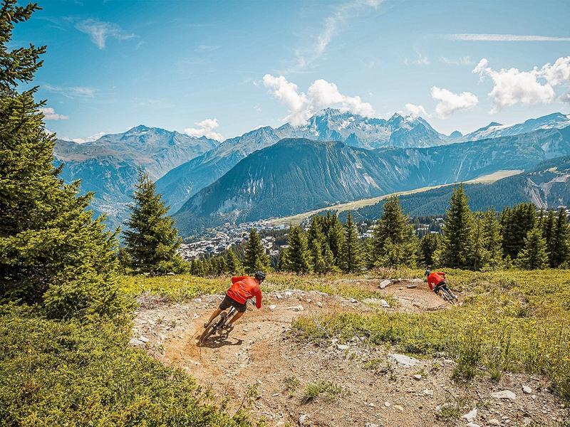
Red Enduro trail to Courchevel Le Praz or Bozel.
The trail starts at the summit of La Saulire (2700m) and takes you to Courchevel Le Praz (1300m), where the lowest gondola in the resort is located. You then have the option of continuing to Bozel (850m), where you can take the free shuttle bus to Courchevel from the bus stops near the lake or Bozel town hall. Be sure to check the shuttle timetable!
The trail features several profiles: enduro shaper, bike park, forest enduro.
Dirt, rocks and roots are the order of the day, with the added bonus of a magnificent view of the Courchevel environment.
服务项目
价格
自由访问.
使用时间
从01/07到31/08
需天气良好
主页
不接受宠物