Grand Tour de Tarentaise - Hiking 27 days
访问
起点 :
纬度 :
6.492727
经度 :
45.525297
地图参考 :
Top 25 3532 OT - 25 3531 ET - 25 3532 ET - 25 3633 ET - 25 3534 OT - 25 3433 ET
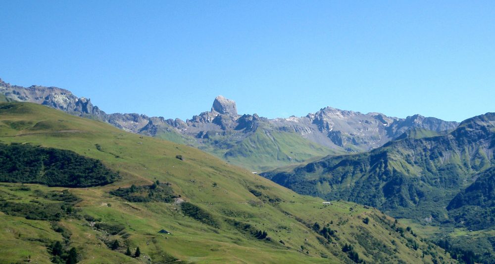
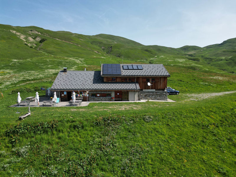
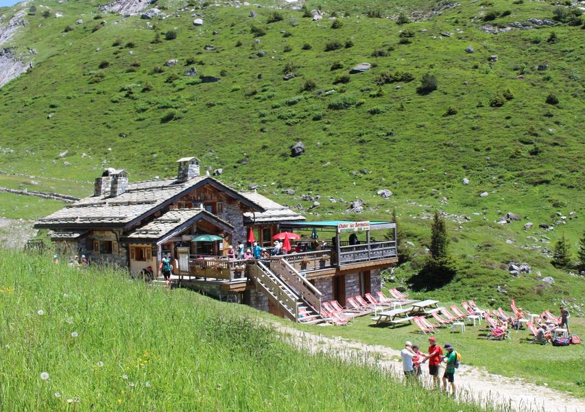
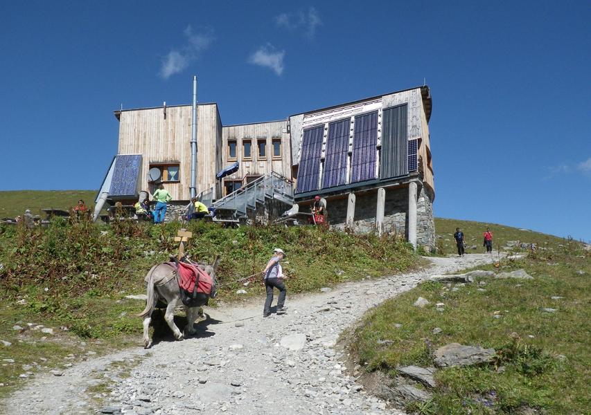
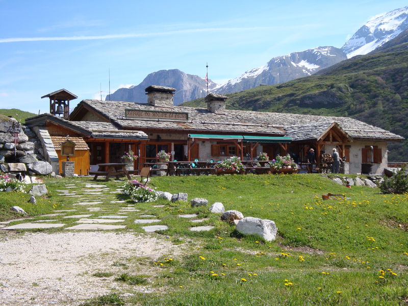
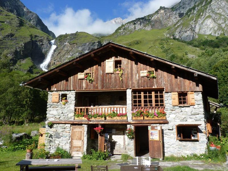
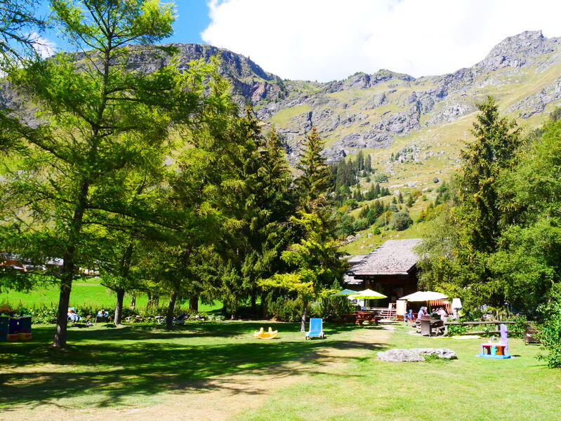
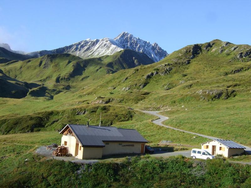
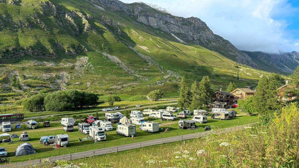
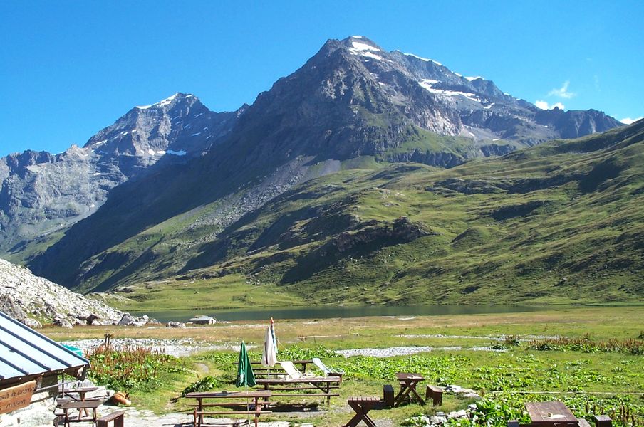
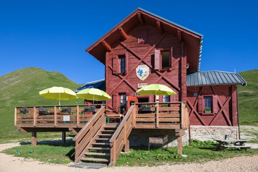
Discover the whole valley at your own pace via the Grand Tour de Tarentaise, from two days to several weeks, according to your own plans and the different sectors: Beaufortain/Mont Blanc, Haute Tarentaise, Around La Plagne, Vanoise, Three Valleys, Lauzière.
Sectors :
- Beaufortain / Mont-Blanc: 4 to 5 days, approximately 4,400 meters of ascending elevation.
- Haute Tarentaise: 4 to 6 days, approximately 3,400m of ascending elevation.
- Around La Plagne: 4 days, about 3,400m of ascending elevation.
- Vanoise: 4 to 6 days, approximately 3,600m of ascending elevation.
- Three Valleys: 4 to 5 days, approximately 2,400m of ascending elevation.
- Lauzière: 3 to 4 days, approximately 1,600m of ascending elevation.
服务项目
价格
免费.
使用时间
从15/06到15/09
需天气良好下雪天受限
主页
允许携带宠物