
Petit Mont Blanc
访问
起点 :
纬度 :
6.660476
经度 :
45.408286
地图参考 :
Enjoy 360° panoramic views from the Vanoise glaciers to Mont Blanc.
The peak takes its name from its rounded shape, similar to that of its big brother, and the gypsum that looks like snow.
Several return variants are possible to make a loop:
PASSAGE DE PLASSA (8')
- walking time: 9h30
- distance: 24.7 km
- altitude difference: D+ 1300 m / D- 1300 m
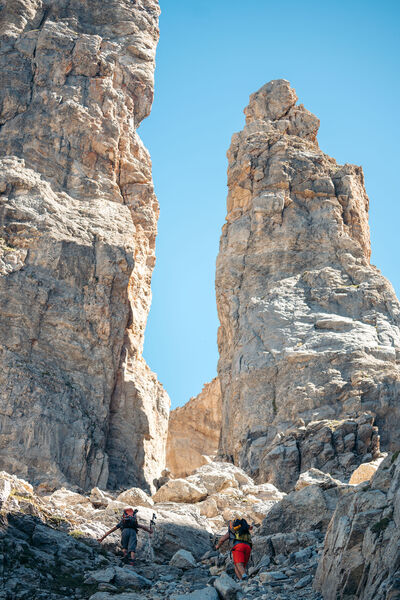
This path leads to a monumental cairn (3.5 m). Beyond the passage unfolds a vast scree where the remains of a plane crashed on December 19, 1969 can be discerned.
COL DE MEY (8'')
- walking time: 8h30
- distance: 20.3 km
- altitude difference: D+ 1270 m / D- 1270 m
For the more experienced, a rocky walkway equipped with a cable allows you to continue up to the Col de Mey. Not recommended if you're afraid of heights!
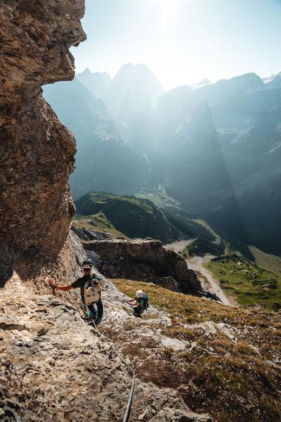
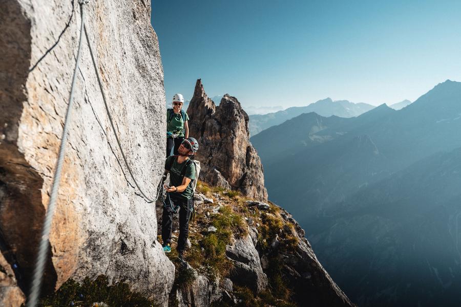
VIA CAVO DEL MEY, the vertigo hike (via cordata)
- route time: 1h00
- distance: 0.8 km
- difference in altitude: D+ 180 m
Reserved for adventurers and thrill-seekers, Courchevel's newest hike is... vertigo-inducing. A cabled route over rocky ledges facing the Vanoise glaciers.
Warning: helmet, lanyards and harness compulsory!
服务项目
价格
自由访问.
使用时间
从01/05到31/10
需天气良好
主页
允许携带宠物
探索我们的徒步路线

徒步运动
Dent du Villard - Sentier des 1000 marches - Col de la Chal
Courchevel
9.3km
徒步者/徒步旅行者
730m
730m

徒步运动
Boucle de Mateigena
Courchevel
2.4km
徒步者/徒步旅行者
130m
130m

徒步运动
Courchevel
11km
容易
335m
335m
一条永久性的山间小径


