


01 / 03
Crête des Gravelles
Access
Starting from :
Latitude :
6.64513
Longitude :
45.405972
Map ref. :
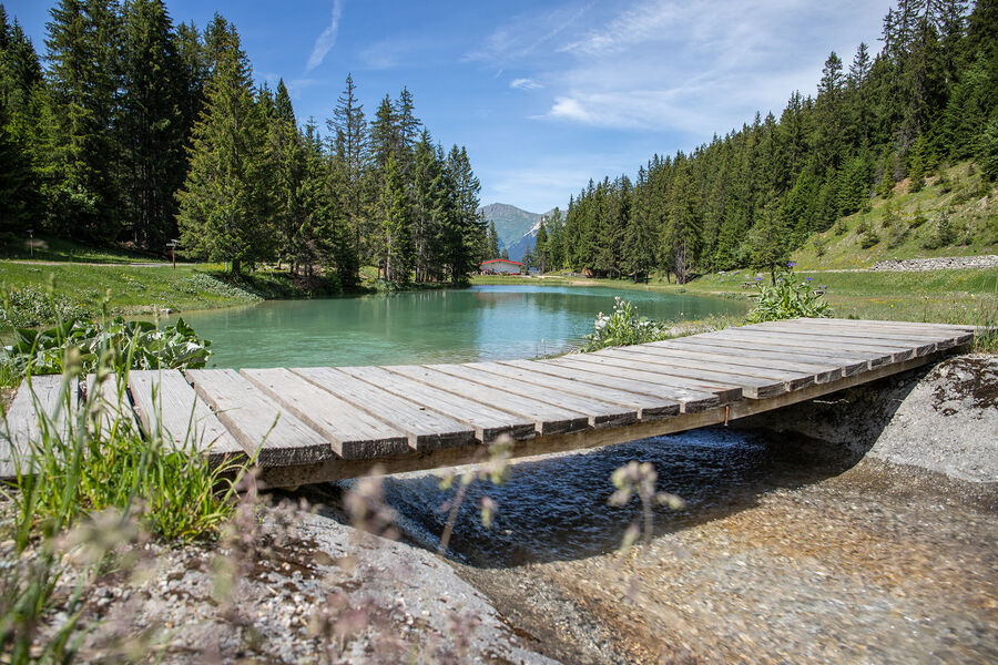
Walk to the top of a small summit – a really lovely spot for a picnic (and others) on the shores of the Plan du Vah lake.
"Plan du Vah
By shuttle bus, get off at the “Plan du Vah” stop.
By car, drive through Courchevel Moriond and continue towards Courchevel 1850. Stop before the lake and park on the left side of the road."
Services
Rates
Free of charge.
Period(s) of use
From 01/05 to 01/10From 01/05 to 31/10
Subject to favorable weather
Home
Pets allowed
1/3

Things to discover nearby
Explore our hikes

Pedestrian sports
Courchevel
9km
940m
940m

Pedestrian sports
Boucle de Mateigena
Courchevel
2.4km
Walkers/hikers
130m
130m
This shortish and rather steep path winds through the forest, taking you to a pretty clearing and some ponds.

Pedestrian sports
Chemin du moulin de Villaflou
Courchevel
4.2km
Walkers/hikers
270m
270m
This orchard trail links the hamlets of Villaflou, which has an authentic watermill, and Le Freney.


