


01 / 04
Crêtes du Mont Charvet
Access
Starting from :
Latitude :
6.667388
Longitude :
45.409121
Map ref. :
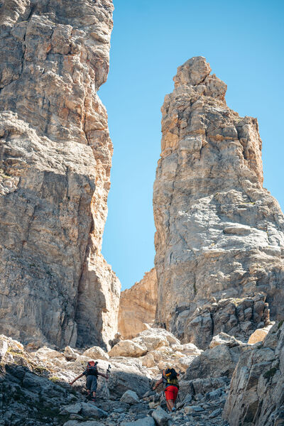
This high-level walk takes you past sinkholes and offers amazing panoramic views.
When you get to Le Biol, you’ll see a stone - the remains of the old mountain hut that was carried away by an avalanche in 1999.
Lac de la Rosière Car Park
By shuttle bus (line H), go to the end of the line and get off at the “Lac de la Rosière” stop.
By car, turn left at the first roundabout as you come into Courchevel Moriond, take several sharp bends heading towards Belvédère and take “Route de la Rosière” going downhill on the left, on the same level as the hiking symbol, just after Le Zenith hotel.
It can sometimes be difficult to park at La Rosière, so we recommend that you park at the Cimes Blanches car park (free covered car park in summer) in Courchevel Moriond, and take a shuttle bus that will drop you right at the site entrance.
Services
Rates
Free of charge.
Period(s) of use
From 01/05 to 31/10From 31/05 to 31/10
Subject to favorable weather
Home
Pets allowed
1/4

Things to discover nearby
Explore our hikes

Pedestrian sports
Courchevel Le Praz - Montcharvet - La Jairaz
Courchevel
6.9km
Quite hard
150m
150m
This panoramic circuit enjoys unobstructed views of the Grand Bec and villages on the opposite mountainside. The route might be a little long for anyone who isn’t used to walking.

Pedestrian sports
Courchevel
3.6km
Level green – easy
200m
190m

Pedestrian sports
Lacs Merlet
Courchevel
9km
Children
470m
470m
Explore two jewels of the Vanoise national Park – the upper lake is the deeper of the two (28m).


