


01 / 04
Brèche de Portetta
Access
Starting from :
Latitude :
6.658073
Longitude :
45.411329
Map ref. :
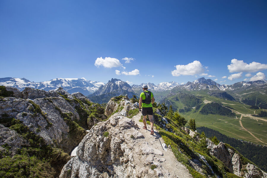
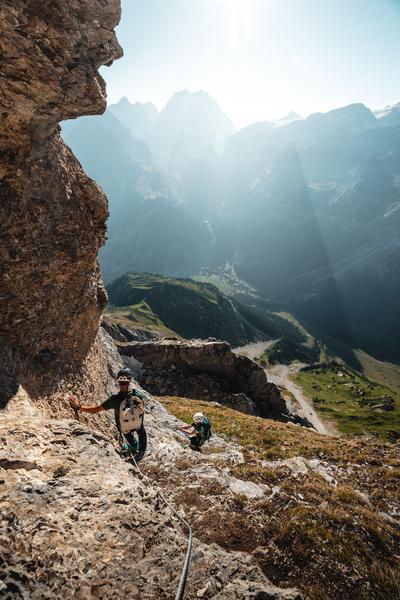
See the Savoie region’s very own little Dolomites: explore the mineral-rich environment between the tall needles of rock.
Watch out for snow fields at the start of the season.
Don’t leave your car for too long at the foot of the rock face (danger of rock falls).
Services
Rates
Free of charge.
Period(s) of use
From 01/05 to 31/10From 01/06 to 04/09
Subject to favorable weather
Home
Pets allowed
1/4

Things to discover nearby
Explore our hikes

Pedestrian sports
Passage de Plassa
Courchevel
24.7km
Walkers/hikers
1300m
1300m
This path leads to a monumental cairn (3.5m). Beyond the passageway, a vast scree slope reveals the remains of a plane that crashed on December 19, 1969.

Pedestrian sports
Aquamotion
Courchevel
km
-m
-m
The route takes you through the old hamlet of Moriond. Be sure to stop at Aquamotion, the biggest aqua-leisure centre in the mountains.

Pedestrian sports
Rocher de Villeneuve
Courchevel
15.7km
Level red – hard
1300m
1300m
This quiet little peak has dazzling panoramic views of the Vanoise glaciers. We recommend that you go back down via Le Col de la Dent.


