

01 / 02
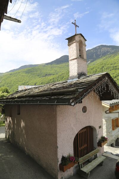
Le Grenier, Le Fay, Les Moulins
Access
Starting from :
Latitude :
6.638755
Longitude :
45.435535
Map ref. :
This circular hike can be extended to include three other hamlets or even Lac de Bozel, for the more daring among you.
Rue des Sachets, Saint Bon Le Bas
By shuttle bus, get off at the “Saint Bon le Bas” stop. Take “Rue des Sachets” which goes downhill on the right behind the bus stop.
By car, park in the Rue des Sachets car park (just down from the start of the trail).
The trail starts on the left, level with the point where it intersects Rue des Reisses.
Services
Rates
Free of charge.
Period(s) of use
From 01/01 to 31/12
Subject to favorable weather
Home
Pets allowed
1/2

Things to discover nearby
Explore our hikes

Pedestrian sports
Pralin-Mugnier meadow
Courchevel
2.4km
Level green – easy
70m
70m
Explore the pastures where AOP Beaufort cheese is produced, plus amazing views of La Dent du Villard. Picnic tables are available at the farms in Pralin-Mugnier.

Pedestrian sports
Sentier découverte du Grand Bois
Courchevel
3.5km
Walkers/hikers
20m
510m
Take the gondola lift up to the top and read up about the area on the signs along the way: snow, avalanches, ants, spruce trees, Alpine meadows, countryside, fauna, flora and the built environment.

Pedestrian sports
Courchevel
13km
1400m
1400m


