


01 / 05
Chemin des Travers (Buisson, Fontanil, Cuerdy)
Access
Starting from :
Latitude :
6.623673
Longitude :
45.441714
Map ref. :
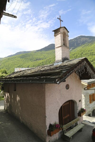
Explore the hamlets of Saint-Bon, where time seems to stand still. Ask for a copy of the heritage guide at any tourist office : it tells you all about them.
Shuttlebus available for return journey.
Rue des Sachets, Saint Bon Le Bas
By shuttle bus, get off at the “Saint Bon le Bas” stop. Take “Rue des Sachets” which goes downhill on the right behind the bus stop.
By car, park in the Rue des Sachets car park (just down from the start of the trail).
The trail starts on the left, level with the point where it intersects Rue des Reisses.
Services
Rates
Free of charge.
Period(s) of use
From 30/04 to 31/10From 01/05 to 31/10
Subject to favorable weather
Home
Pets allowed
1/5

Things to discover nearby
Explore our hikes

Pedestrian sports
Dent du Villard
Courchevel
9.8km
Level red – hard
740m
740m
With its remarkable geological features, Courchevel’s iconic peak has an amazing landscape and wonderful panoramic views. Be careful when approaching the big ravines.

Pedestrian sports
Sentier botanique et Cascade des Poux
Courchevel
2.7km
Level green – easy
100m
100m
Being close to water is very relaxing as you walk through the light-filled forest. Look out for a wide range of rare and protected species along the way. Avoid in heavy rain.

Pedestrian sports
Courchevel
9km
940m
940m


