


01 / 04
Sentier botanique et Cascade des Poux
Access
Starting from :
Latitude :
6.645094
Longitude :
45.417849
Map ref. :
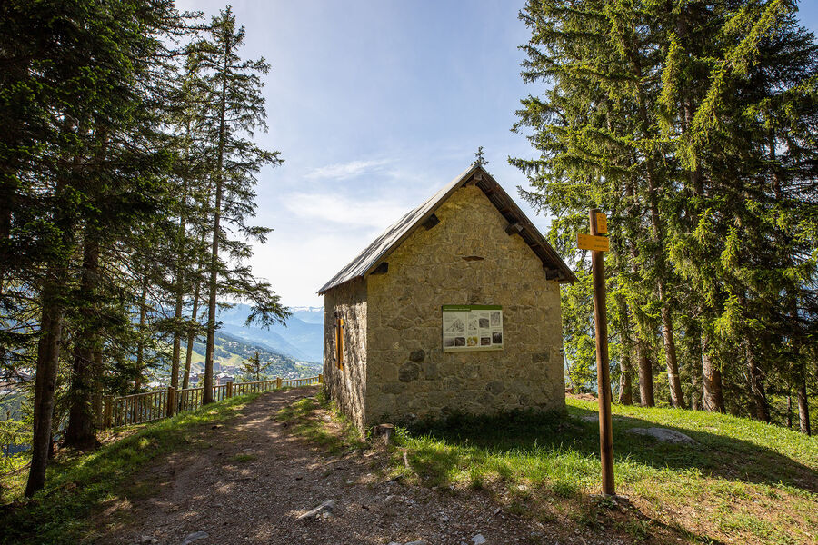
Being close to water is very relaxing as you walk through the light-filled forest. Look out for a wide range of rare and protected species along the way.
Avoid in heavy rain.
Lac de la Rosière Car Park
By shuttle bus (line H), go to the end of the line and get off at the “Lac de la Rosière” stop.
By car, turn left at the first roundabout as you come into Courchevel Moriond, take several sharp bends heading towards Belvédère and take “Route de la Rosière” going downhill on the left, on the same level as the hiking symbol, just after Le Zenith hotel.
It can sometimes be difficult to park at La Rosière, so we recommend that you park at the Cimes Blanches (free covered car park in summer) car park in Courchevel Moriond, and take a shuttle bus that will drop you right at the site entrance.
Services
Rates
Free of charge.
Period(s) of use
From 01/05 to 31/10
Subject to favorable weather
Home
Pets allowed
1/4

Things to discover nearby
Explore our hikes

Pedestrian sports
Crêtes du Mont Charvet
Courchevel
11km
Walkers/hikers
830m
830m
This high-level walk takes you past sinkholes and offers amazing panoramic views. When you get to Le Biol, you’ll see a stone - the remains of the old mountain hut that was carried away by an avalanche in 1999.

Pedestrian sports
Courchevel
5.5km
Level green – easy
290m
300m

Pedestrian sports
Circuit des Teppes
Courchevel
3km
Level green – easy
130m
130m
A great place to relax and have a picnic with the added bonus of a view of the Grand Bec, the Tarentaise Valley and the resort of Courchevel La Tania from a viewpoint on the way back. You can do a circuit via the 4x4 track.


