


01 / 03
Abri du Bec de l'Aigle
Access
Starting from :
Latitude :
6.668256
Longitude :
45.407677
Map ref. :
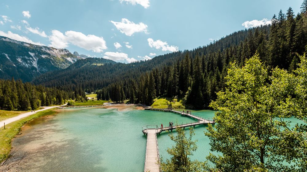
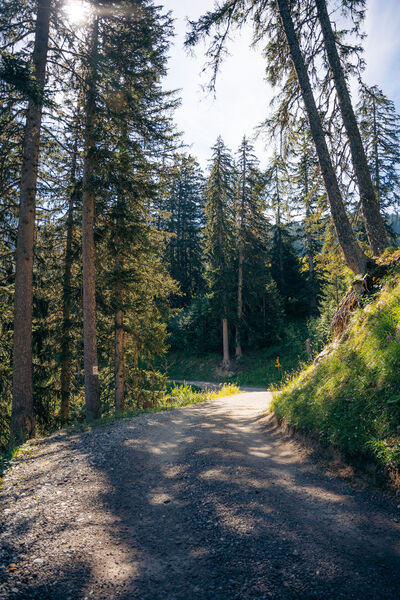
There is a Mediterranean forest feel to this route, which takes you to a stone shelter.
La dent du Villard is characterised by a wide variety of natural habitats showcasing every type of geological feature: forests, ericaceous moorland, willow thickets, Alpine and subalpine meadows, tall grass vegetation, cliffs and screes. The sector’s distinct characteristics come from its ancient growth of mountain pines in gypsum (Natura 2000 listed).
Do not attempt when heavy rain is forecast.
Fires are strictly prohibited.
Services
Rates
Free access.
Period(s) of use
From 01/05 to 31/10
Subject to favorable weather
Home
Pets allowed
1/3

Things to discover nearby

Explore our hikes

Pedestrian sports
Circuit des Teppes
Courchevel
3km
Level green – easy
130m
130m
A great place to relax and have a picnic with the added bonus of a view of the Grand Bec, the Tarentaise Valley and the resort of Courchevel La Tania from a viewpoint on the way back. You can do a circuit via the 4x4 track.

Pedestrian sports
Crêtes du Mont Charvet
Courchevel
11km
Walkers/hikers
830m
830m
This high-level walk takes you past sinkholes and offers amazing panoramic views. When you get to Le Biol, you’ll see a stone - the remains of the old mountain hut that was carried away by an avalanche in 1999.

Pedestrian sports
Sentier des Verdons
Courchevel
2.8km
Walkers/hikers
10m
320m
This route takes you up in a gondola lift, giving you great views of the Grande Casse (highest peak in the Savoie region: 3,855m). Look out for marmots on the ledge 100 metres from the gondola lift station. Watch out for cyclists and golfers.


