
Cycling Itinerary - Col de la Loze - Discovery loop
Access
Starting from :
Latitude :
6.5633
Longitude :
45.409
Map ref. :
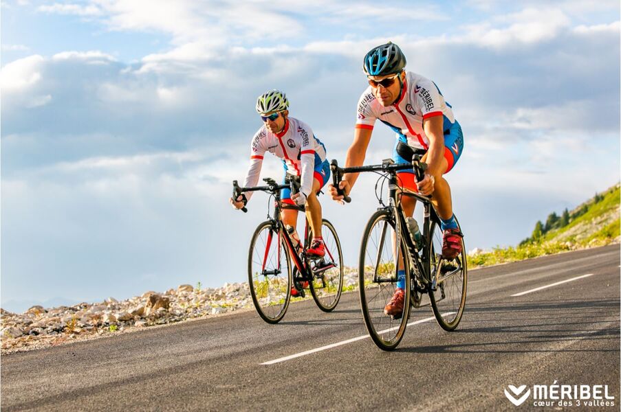
Boucle découverte du mythique Col de la Loze emprunté par les plus grands cyclistes. Venez rouler sur un des cols les plus durs de France !
Services
Rates
Free access.
Period(s) of use
From 01/06 to 31/10
Home
Pets not allowed
Things to discover nearby
Explore our hikes

Pedestrian sports
Sentier des Verdons
Courchevel
2.8km
Walkers/hikers
10m
320m
This route takes you up in a gondola lift, giving you great views of the Grande Casse (highest peak in the Savoie region: 3,855m). Look out for marmots on the ledge 100 metres from the gondola lift station. Watch out for cyclists and golfers.

Pedestrian sports
Tour de la Dent
Courchevel
12.9km
Walkers/hikers
1080m
1080m
Passing through a protected wilderness area, this path is full of curious geological features related to gypsum. Few people walk this route. Tell someone exactly where you’re going, start out early and do not attempt in stormy weather.

Pedestrian sports
Courchevel Le Praz - Montcharvet - La Jairaz
Courchevel
6.9km
Quite hard
150m
150m
This panoramic circuit enjoys unobstructed views of the Grand Bec and villages on the opposite mountainside. The route might be a little long for anyone who isn’t used to walking.


