
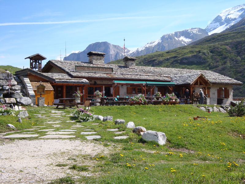
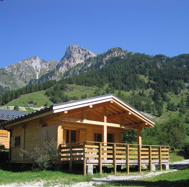
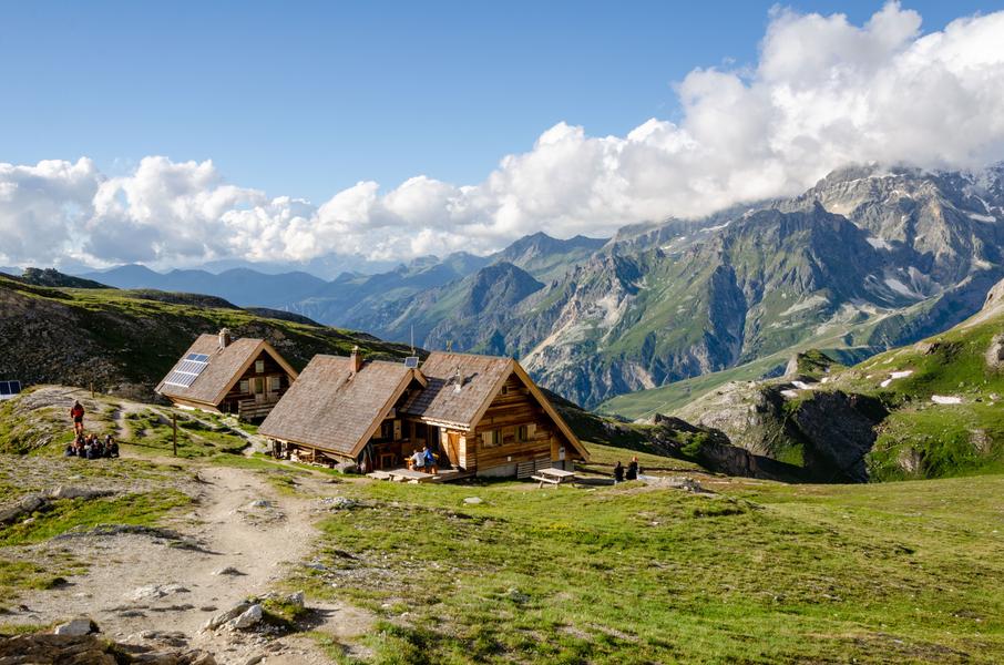
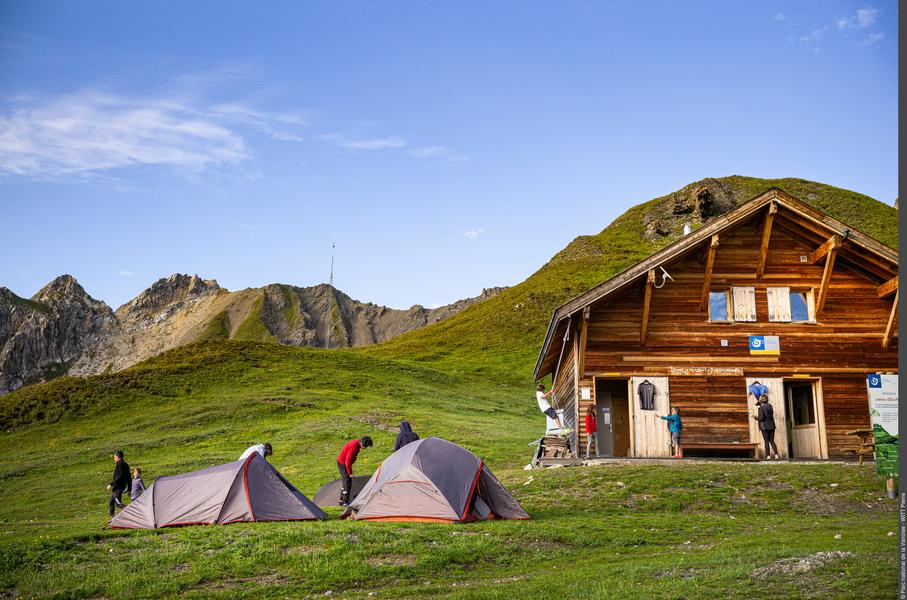
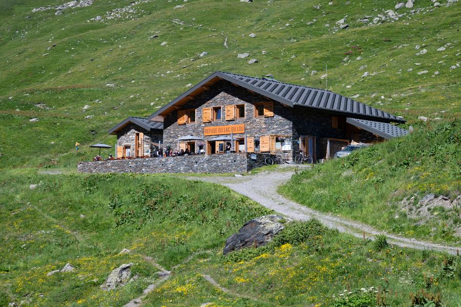
Grand Tour de Tarentaise - Hiking 27 days
Access
Starting from :
Latitude :
6.492727
Longitude :
45.525297
Map ref. :
Top 25 3532 OT - 25 3531 ET - 25 3532 ET - 25 3633 ET - 25 3534 OT - 25 3433 ET
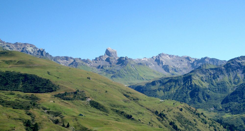
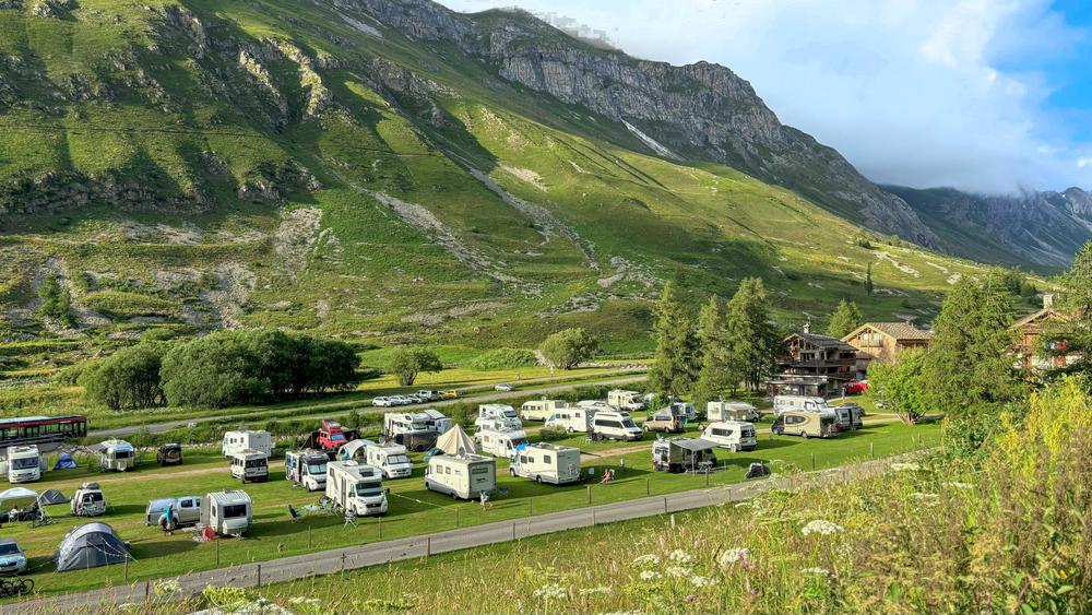
Discover the whole valley at your own pace via the Grand Tour de Tarentaise, from two days to several weeks, according to your own plans and the different sectors: Beaufortain/Mont Blanc, Haute Tarentaise, Around La Plagne, Vanoise, Three Valleys, Lauzière.
Sectors :
- Beaufortain / Mont-Blanc: 4 to 5 days, approximately 4,400 meters of ascending elevation.
- Haute Tarentaise: 4 to 6 days, approximately 3,400m of ascending elevation.
- Around La Plagne: 4 days, about 3,400m of ascending elevation.
- Vanoise: 4 to 6 days, approximately 3,600m of ascending elevation.
- Three Valleys: 4 to 5 days, approximately 2,400m of ascending elevation.
- Lauzière: 3 to 4 days, approximately 1,600m of ascending elevation.
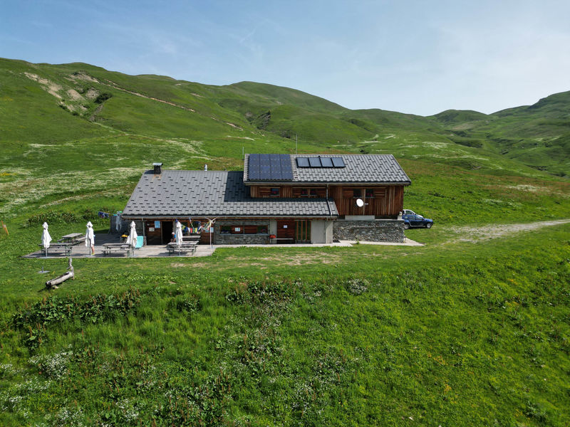
Services
Rates
Free of charge. To be consulted directly in the accommodation.
Period(s) of use
From 15/06 to 15/09
Subject to favorable weatherSubject to snow conditions
Home
Pets allowed
Things to discover nearby

Explore our hikes

Pedestrian sports
Petit Mont Blanc
Courchevel
20.2km
Level red – hard
970m
970m
Enjoy 360° panoramic views from the Vanoise glaciers to Mont Blanc. The peak takes its name from its rounded shape, similar to that of its big brother, and the gypsum that looks like snow.

Pedestrian sports
Chemin du moulin de Villaflou
Courchevel
4.2km
Walkers/hikers
270m
270m
This orchard trail links the hamlets of Villaflou, which has an authentic watermill, and Le Freney.

Pedestrian sports
Lac Bleu
Courchevel
4.1km
Level red – hard
180m
180m
The path winds up through scree and rhododendrons, opening out onto the Loze plateau. You can take the gondola lift or the Sentier des Verdons (n°17) back down to the resort.


