
Petit Mont Blanc
Access
Starting from :
Latitude :
6.660476
Longitude :
45.408286
Map ref. :
Enjoy 360° panoramic views from the Vanoise glaciers to Mont Blanc.
The peak takes its name from its rounded shape, similar to that of its big brother, and the gypsum that looks like snow.
Several return variants are possible to make a loop:
PASSAGE DE PLASSA (8')
- walking time: 9h30
- distance: 24.7 km
- altitude difference: D+ 1300 m / D- 1300 m
This path leads to a monumental cairn (3.5 m). Beyond the passage unfolds a vast scree where the remains of a plane crashed on December 19, 1969 can be discerned.
COL DE MEY (8'')
- walking time: 8h30
- distance: 20.3 km
- altitude difference: D+ 1270 m / D- 1270 m
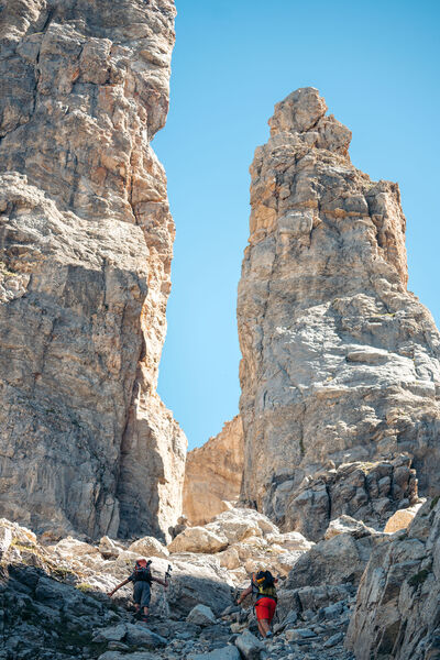
For the more experienced, a rocky walkway equipped with a cable allows you to continue up to the Col de Mey. Not recommended if you're afraid of heights!
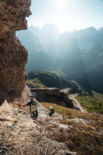
VIA CAVO DEL MEY, the vertigo hike (via cordata)
- route time: 1h00
- distance: 0.8 km
- difference in altitude: D+ 180 m
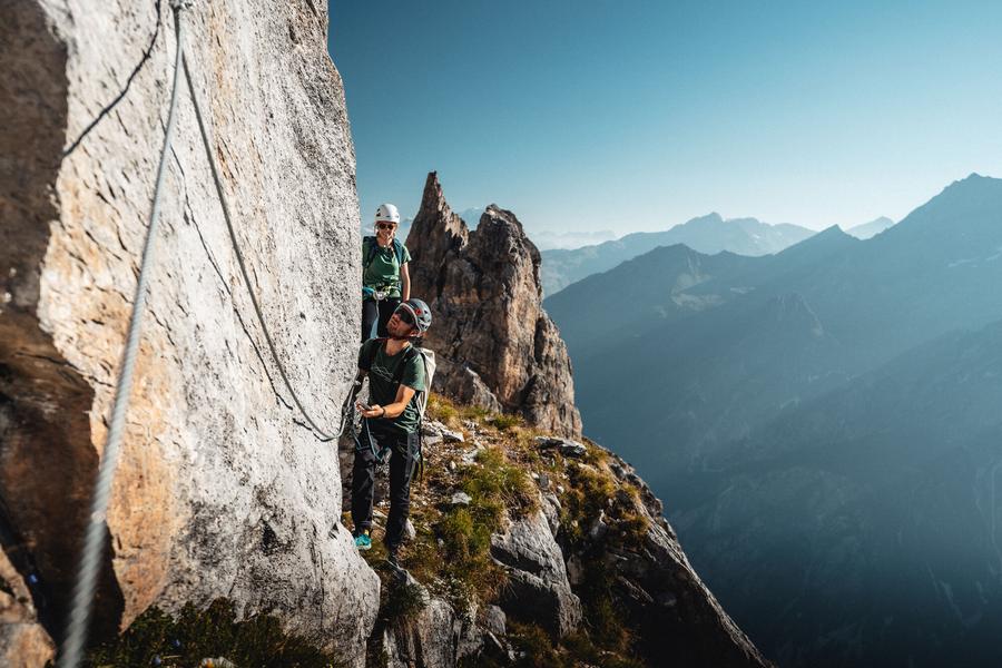
Reserved for adventurers and thrill-seekers, Courchevel's newest hike is... vertigo-inducing. A cabled route over rocky ledges facing the Vanoise glaciers.
Warning: helmet, lanyards and harness compulsory!
Services
Rates
Free access.
Period(s) of use
From 01/05 to 31/10
Subject to favorable weather
Home
Pets allowed
Things to discover nearby
Explore our hikes

Pedestrian sports
Sentier des Verdons
Courchevel
2.8km
Walkers/hikers
10m
320m
This route takes you up in a gondola lift, giving you great views of the Grande Casse (highest peak in the Savoie region: 3,855m). Look out for marmots on the ledge 100 metres from the gondola lift station. Watch out for cyclists and golfers.

Pedestrian sports
24 - Sandraz - Bois du Ban (été)
Courchevel
3.4km
Walkers/hikers
90m
140m
This path takes you to Kamelot Camp amongst the fir trees, where you can refuel at the little Canadian-style cabin and sample fun, original activities at the lake.

Pedestrian sports
Chemin des chevreuils
Courchevel
4.1km
Walkers/hikers
100m
100m
Cut out of the rock face, this footpath links the villages of Le Praz and La Tania and gives you pretty views of villages on the facing mountainside.


