

Sétéria Bridge Walking Loop
Access
Starting from :
Latitude :
6.724963
Longitude :
45.253391
Map ref. :
Map IGN 3534OT - Les Trois Vallées
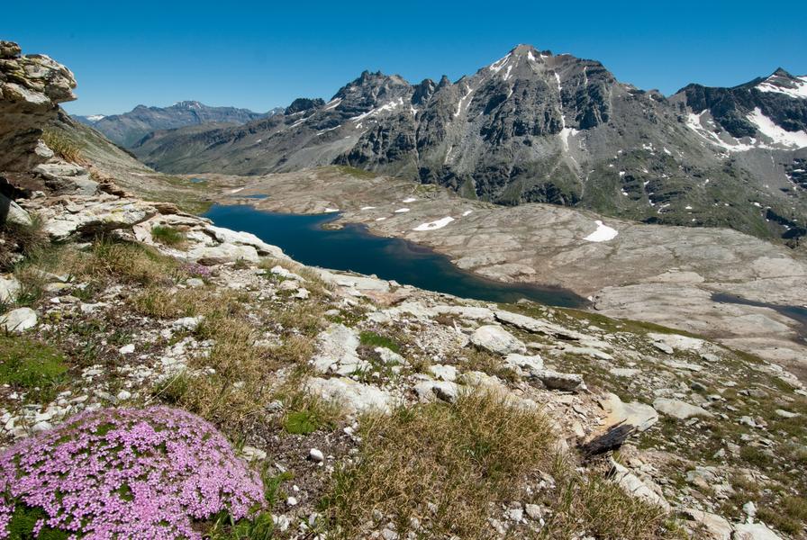
Embark on an adventure in the Vanoise National Park... Marmots accompany
you on the lush high-altitude meadows as sparkling streams joyfully
bubble their way down the mountain. With your family or on your own,
this hike's a relaxing first step towards Fond d'Aussois.
To fully enjoy the tranquility and secure a parking spot, we recommend doing
this sunny hike in the spring or autumn.
In the summer, it's best to set off with the first breezes so you can hear the
morning calls of the marmots. Bounding along to nibble on their breakfast
amidst rhododendrons and tall grasses, they'll gladly accompany you, so
long as you stay quiet.
After pausing to watch them, you pick up the pace and as the path gets
slightly steeper, you sometimes feel the pebbles rolling under your feet.
The few mountain bikers you pass smile at you and seem to say: "just a bit
further and you'll get what you deserve: a stunning view of the lakes and
Dent Parraché, queen of the realm".
When you get to the bridge, you promise yourself that, on your next trip,
you'll go even further.
In the meantime, you can choose to either head back the way you came or
cross the Saint-Benoît torrent to return via the Fournache refuge. Isn't there
a waterfall of the same name a little lower down? Here's a hint: see you
under the Avrieux sun...
Services
Rates
Free access.
Period(s) of use
From 01/06 to 15/10
Subject to favorable weatherSubject to snow conditions
Home
Pets not allowed
Things to discover nearby
Explore our hikes

Pedestrian sports
Lacs Merlet
Courchevel
9km
For beginners / novice
470m
470m
Explore two jewels of the Vanoise national Park – the upper lake is the deeper of the two (28m).

Pedestrian sports
Courchevel Le Praz - Montcharvet - La Jairaz
Courchevel
6.9km
Quite hard
150m
150m
This panoramic circuit enjoys unobstructed views of the Grand Bec and villages on the opposite mountainside. The route might be a little long for anyone who isn’t used to walking.

Pedestrian sports
Passage de Plassa
Courchevel
24.7km
Walkers/hikers
1300m
1300m
This path leads to a monumental cairn (3.5m). Beyond the passageway, a vast scree slope reveals the remains of a plane that crashed on December 19, 1969.


