


01 / 02
Via ferrata de la Croix des Verdons
Access
Starting from :
Latitude :
6.610241
Longitude :
45.383547
Map ref. :
France's highest via ferrata!
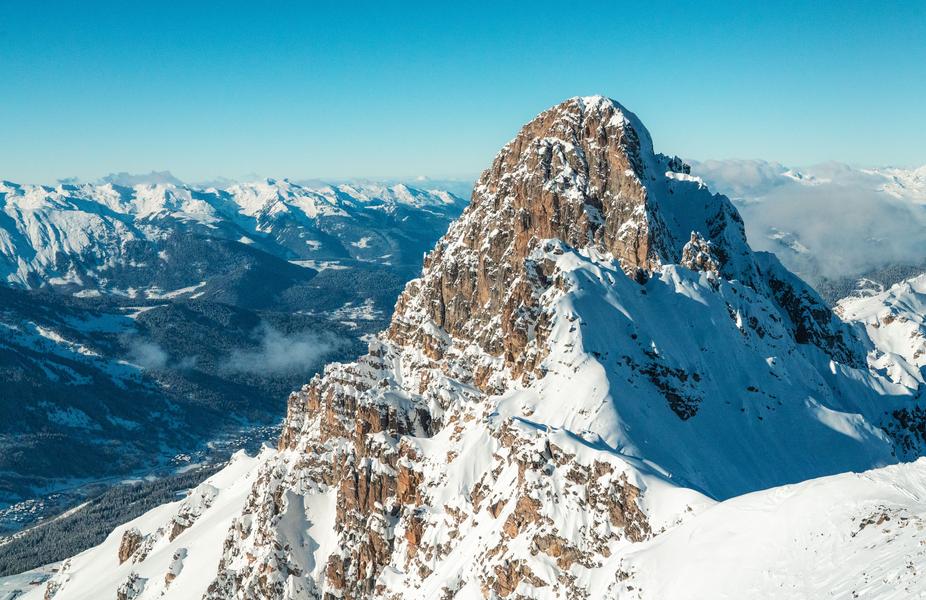
This rather vertiginous via ferrata takes you across the Verdons ridges, in a dolomitic atmosphere.
The route follows ledges, benches and rocky overhangs to the pointe du Curé, then passes the col de la Croix and climbs up to the Croix des Verdons (or Dent de Burgin), offering a fine panorama of the glaciers and peaks of the Vanoise.
Progress using a 1 km safety cable and 650 rungs.
Accessible in summer by lift (Verdons gondola, then Saulire cable car)
or in autumn on foot from the Altiport (2h walk and 700m D+).
Descent via a scree corridor and then the piste to Les Verdons.
IMPORTANT
Before embarking on a via ferrata, you must :
- know and apply safety instructions
- know the main via ferrata hazards
- ascertain the expected level of difficulty and your current physical abilities
- equip yourself with warm clothing and the right technical equipment (and use it correctly)
- make sure none of the components are part of products recalled by manufacturers
If you have any doubts, don't hesitate to ask a professional mountain guide to help you.
Services
Rates
Free access.
Period(s) of use
From 01/07 to 31/08
Subject to favorable weather
Home
Pets not allowed
1/2

Things to discover nearby
Explore our hikes

Pedestrian sports
Sentier botanique et Cascade des Poux Forêt du Laition
Courchevel
4.8km
Walkers/hikers
230m
230m
The newt pond: stop off and take the time to observe this amphibian emblematic of wetlands. Be discreet so that it comes out of its hiding place. Warning: the alpine newt is a vulnerable and protected species in France!

Pedestrian sports
Col de la Loze par Dos des Branches
Courchevel
14.7km
Walkers/hikers
960m
960m
A lovely but strenuous walk up to the Col de la Loze mountain pass, where you can enjoy 360° panoramic views of the peaks from the orientation table and the breath-taking sight of Mont Blanc.

Pedestrian sports
Sentier découverte du Grand Bois
Courchevel
3.5km
Walkers/hikers
20m
510m
Take the gondola lift up to the top and read up about the area on the signs along the way: snow, avalanches, ants, spruce trees, Alpine meadows, countryside, fauna, flora and the built environment.


