G - Le lac de la Rosière (hiver)

Partendo da Courchevel

Lunghezza media : 2h00

Your alt text

G - Le lac de la Rosière (hiver)

Accesso

Partendo da :

Latitudine :

6.658543

Longitudine :

45.412566

Riferimento mappa :

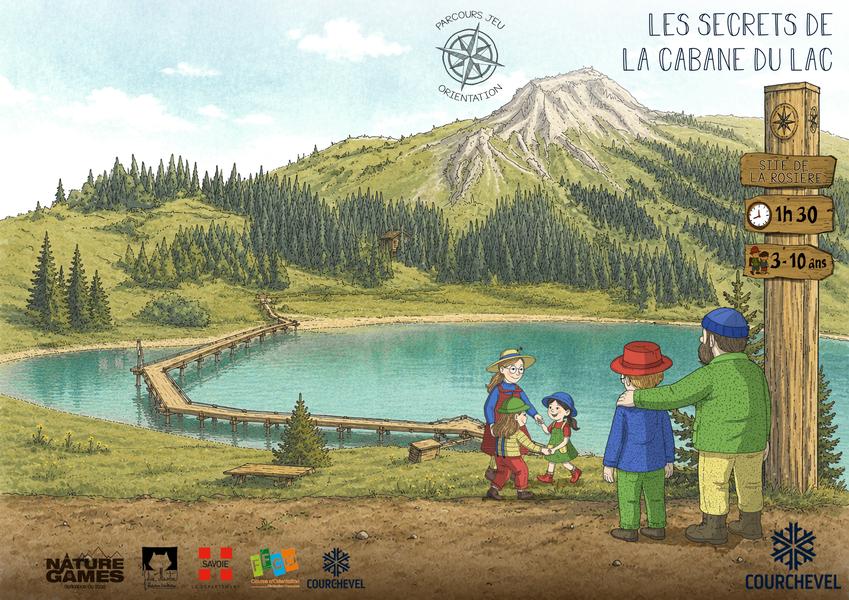
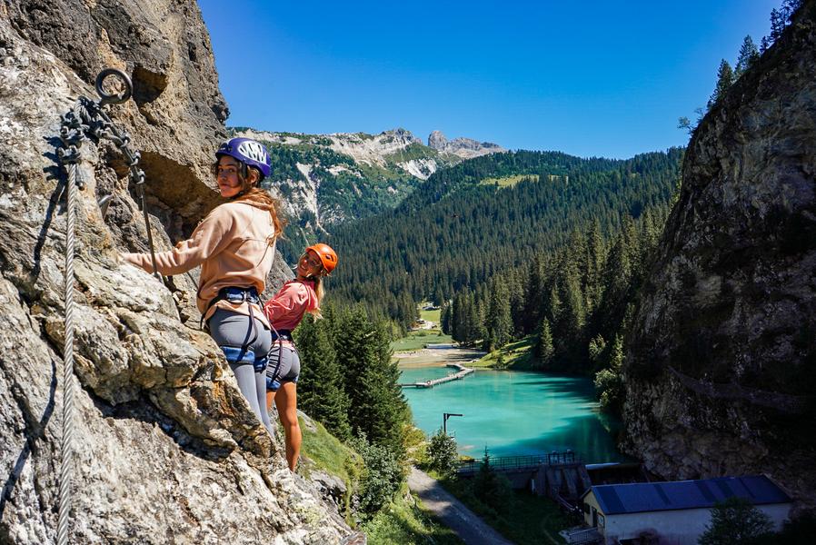
In a natural setting at the foot of the Dent du Villard, with the shimmering lake, this enchanting location is perfect for a quiet moment of contemplation. A great place to visit during your stay!

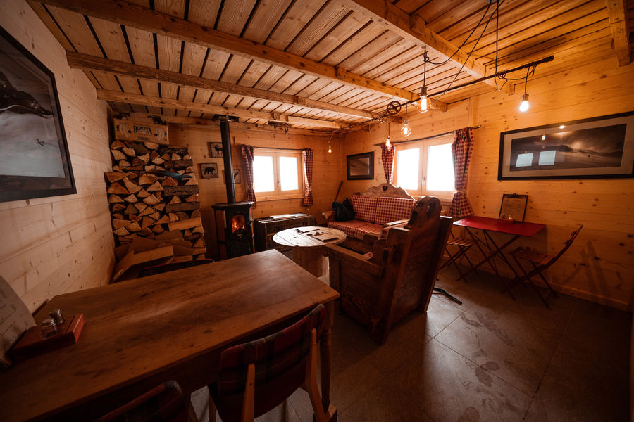
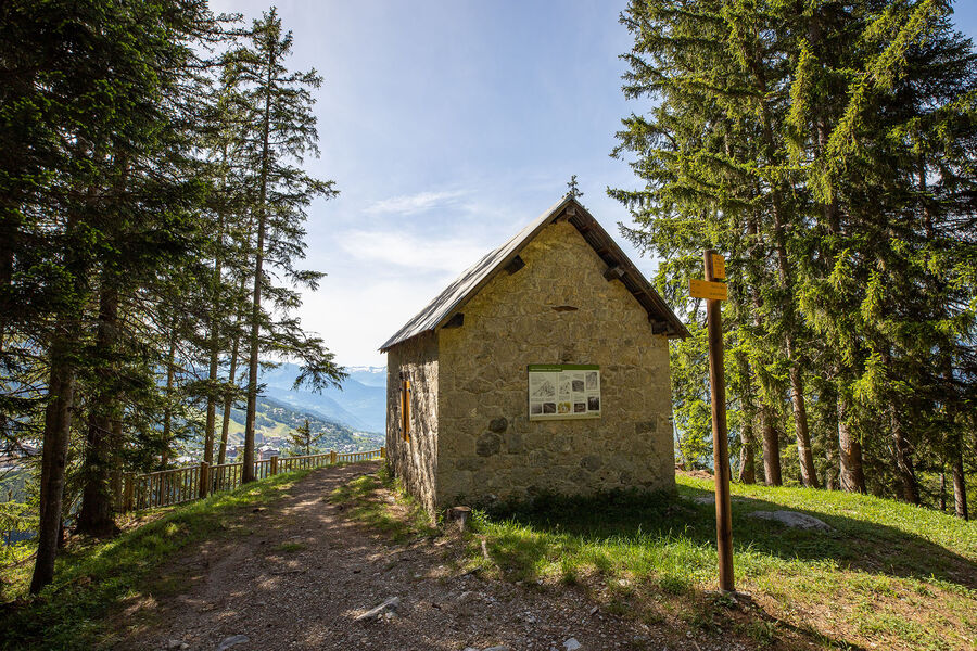
From the totem pole, take the trail down to the Chalet de la Rosière. You can extend your walk by taking the footbridge around the lake (this section is not groomed and avalanche-prone, so it's advisable to take it with a mountain guide).

Return to your starting point by the same route.

Informazioni utili

Partendo da Courchevel

Lunghezza media : 2h00

Difficoltà : Moderato

Aller retour

Distanza : 4.5 km

Differenza di altitudine : 170 m

Pendenza negativa : 170 m

Altitudine massima : 1700 m

Percorso segnalato

Contatto

Telefono:

 04 79 08 00 29

Posta elettronica:

 info@courchevel.com

Servizi

Prezzi

Gratuito.

Periodo(i) di utilizzo

Da 01/12 a 30/04

Con riserva di condizioni atmosferiche favorevoliCon riserva di condizioni di neve

Casa

Animali domestici ammessi
img alt
Z

Esplora le piste

Esplora

Rapporti sulla neve

Esplora

Il tempo

Località di villeggiatura

°

Mattina

°

Pomeriggio

Vetta

°

Mattina

°

Pomeriggio

Esplora

I nostri partner

Logo Volvo   Discover GroupLogo HesperideLogo La Croix   Sports

Etichette

Label Courchevel   Qualité TourismeLabel Courchevel   Famille PlusLabel Courchevel   Station VerteLabel Courchevel   Les 3 ValléesLabel Courchevel   Villes et Villages Fleuris