

Via ferrata du lac de la Rosière
Accesso
Partendo da :
Latitudine :
6.665761
Longitudine :
45.410153
Riferimento mappa :
Designed as an introduction to via ferrata, this unusual itinerary overlooks Lac de La Rosière and offers breathtaking views of the surrounding mountains.
Children under 40 kg must be accompanied by a guide.
The left-bank cliff begins with a passage overlooking the lake, then continues via a monkey bridge and an ascending traverse.
After crossing the valley on a 65m-long Himalayan footbridge over the dam (a possible escape route), you enter the 2nd cliff on the right bank.
An aesthetic, aerial route leads to the "pont des tafones", then, after a final traverse, the via ferrata ends on a bucolic flat on the edge of the gypsum pine forest.
550 m of ropes, 2 Nepalese bridges and a footbridge.
IMPORTANT
Before embarking on a via ferrata, you must :
- know and apply the safety instructions
- know the main via ferrata hazards
- ascertain the expected level of difficulty and your current physical abilities
- Equip yourself with warm clothing and the appropriate technical equipment (and use it correctly).
- make sure that no components are part of products recalled by manufacturers
Rental equipment available on site: from 10 a.m. to 5 p.m. in July and August, on weekends in June and until September 15.
Please note that rental equipment is not suitable for people weighing less than 40kg.
In case of doubt, don't hesitate to ask a professional mountain guide to accompany you.
Servizi
Prezzi
Accesso libero.
Periodo(i) di utilizzo
Da 01/06 a 30/09
Con riserva di condizioni atmosferiche favorevoli
Casa
Non si accettano animali domestici
Da scoprire nei dintorni
Esplora le nostre passeggiate

Sport pedestri
Plan du Vah - Sentier des Tufs
Courchevel
3.1km
Escursionisti
130m
130m
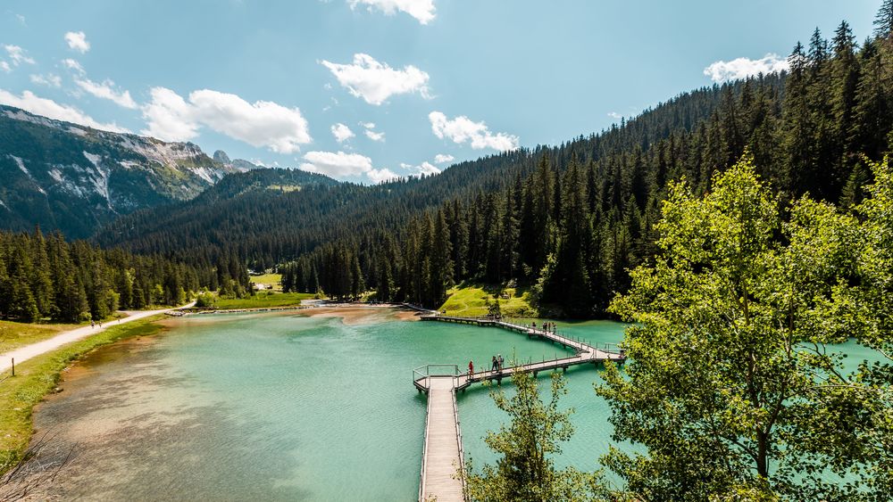
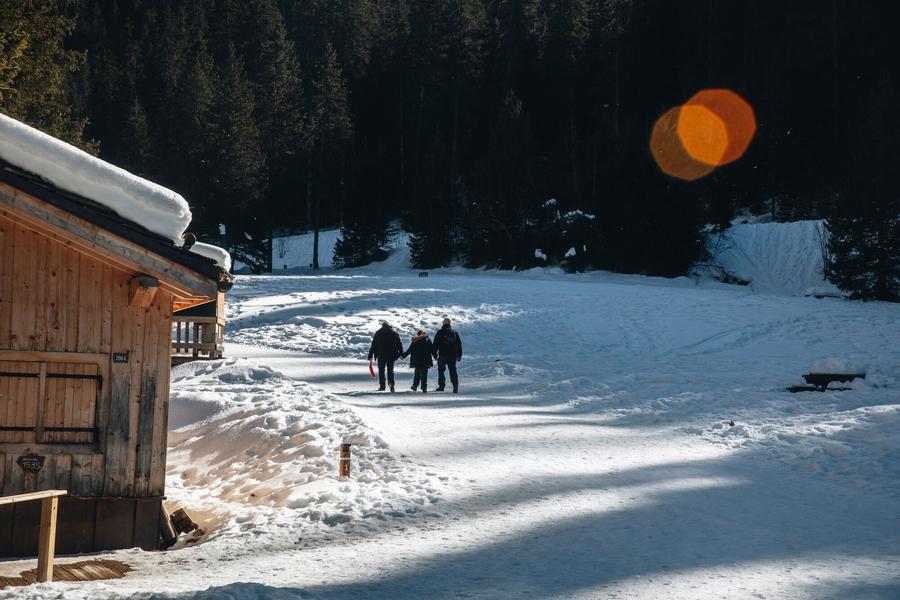
Questo sentiero raggiunge il lago di Plan du Vah in mezzo agli abeti, dove potrete fare il pieno di energia presso il piccolo rifugio in stile canadese e praticare attività divertenti e originali intorno al lago.

Sport pedestri
Il sentiero della contemplazione
Courchevel
1.6km
Escursionisti
135m
135m
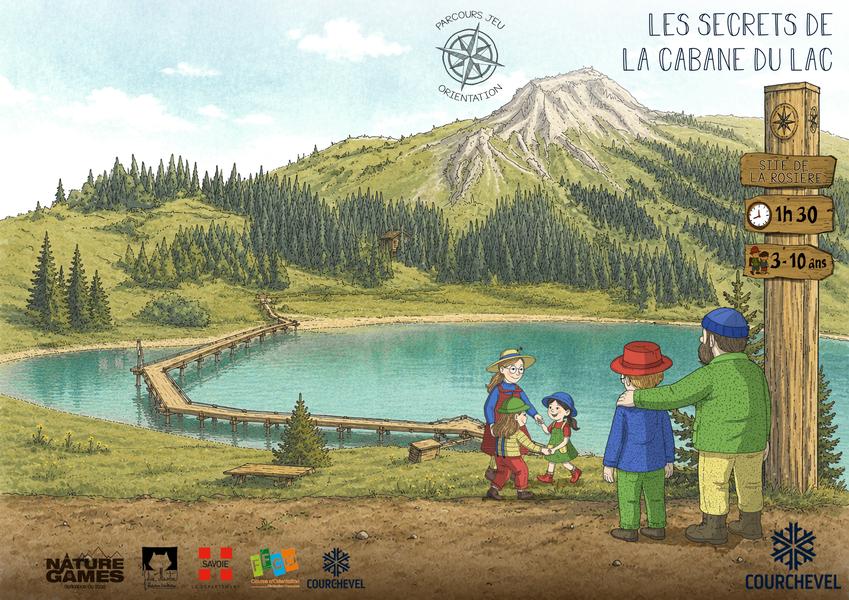
Questo percorso originale, rivolto a un pubblico ampio, invita gli escursionisti a scoprire la natura nel cuore della foresta Mateigena, utilizzando un approccio sensibile e immersivo.

Sport pedestri
Sentiero delle 1000 marce - Col de la Chal
Courchevel
9.3km
Escursionisti
730m
730m
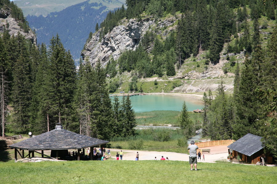
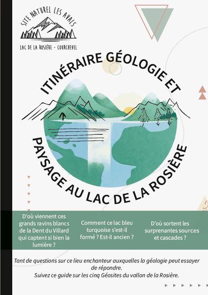
Una variante di salita per raggiungere la Dent du Villard. Se richiede un po' di sforzo, è per offrire il grandioso spettacolo dei fumaioli di dissoluzione. Cosa sono? Salite a dare un'occhiata e fate come i camosci: il grand tour attraverso il Col de la Chal!


