


01 / 02
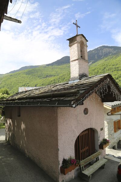
Le Grenier, Le Fay, Les Moulins
Accesso
Partendo da :
Latitudine :
6.638755
Longitudine :
45.435535
Riferimento mappa :
This circular hike can be extended to include three other hamlets or even Lac de Bozel, for the more daring among you.
Rue des Sachets, Saint Bon Le Bas
By shuttle bus, get off at the “Saint Bon le Bas” stop. Take “Rue des Sachets” which goes downhill on the right behind the bus stop.
By car, park in the Rue des Sachets car park (just down from the start of the trail).
The trail starts on the left, level with the point where it intersects Rue des Reisses.
Servizi
Prezzi
Gratuito.
Periodo(i) di utilizzo
Da 01/01 a 31/12
Con riserva di condizioni atmosferiche favorevoli
Casa
Animali domestici ammessi
1/2

Da scoprire nei dintorni
Esplora le nostre passeggiate

Sport pedestri
Aquamotion
Courchevel
km
-m
-m
Il sentiero passa per l'antico borgo di Moriond, per cui è d'obbligo una sosta all'Aquamotion, il più grande centro acquatico della montagna.

Sport pedestri
Boucle de Mateigena
Courchevel
2.4km
Escursionisti
130m
130m

Sport pedestri
Crête des Gravelles
Courchevel
3.3km
Escursionisti
270m
270m
"Salite su una piccola cima bucolica, con le sue sfumature grigio-gialle. Metà roccia e metà bosco, si possono incontrare scoiattoli e talvolta anche caprioli. Da abbinare ad attività o a un picnic (e non solo) sulle rive del lago di Plan du Vah".


