


01 / 02
Courchevel - Col de la Loze
Access
Starting from :
Latitude :
6.634294
Longitude :
45.415133
Map ref. :
Découvrez ce parcours de Gravel de 23,7 km depuis Courchevel. Ce parcours emprunte 14,2 km de routes et 9,5 km de pistes forestières. Il présente une ascension cumulée de plus de 720m.
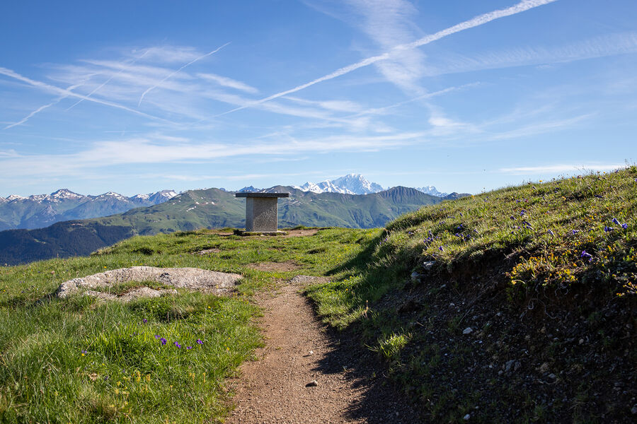
L'accès au Col de Loze prévu pour les vélos est un incontournable à Courchevel par la beauté du paysage, le plaisir de rouler sur un itinéraire prévu pour les vélos en haute altitude et le fait d'emprunter la route des stars du Tour de France.
Ce parcours de niveau intermédiaire malgré le dénivelé (cotation bleu) permet de rouler sur cette portion mythique et revenir au point de départ par de très agréables pistes forestières en balcon loin de la circulation routière.
Services
Rates
Free access.
Period(s) of use
From 01/05 to 31/10
Subject to favorable weather
Home
1/2

Things to discover nearby
Explore our hikes

Pedestrian sports
24 - Sandraz - Bois du Ban (été)
Courchevel
3.4km
Walkers/hikers
90m
140m
This path takes you to Kamelot Camp amongst the fir trees, where you can refuel at the little Canadian-style cabin and sample fun, original activities at the lake.

Pedestrian sports
Courchevel
5km
For experts / practiced
1000m
1000m

Pedestrian sports
Boucle du rocher de la Loze
Courchevel
7.3km
Walkers/hikers
430m
430m
The Rocher de la Loze is an amazing viewpoint, so take the time to admire the Vanoise glaciers and Mont Blanc.


