

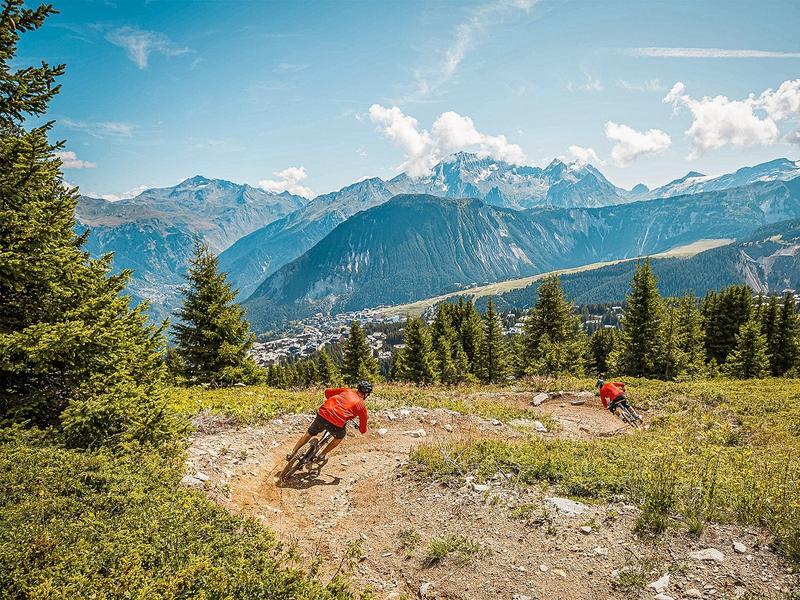
Enduro - La Croé
Access
Starting from :
Latitude :
6.651632
Longitude :
45.417236
Map ref. :
Blue Enduro trail between Courchevel Moriond and Courchevel Village.
Services
Rates
Free access.
Period(s) of use
From 01/06 to 30/09
Subject to favorable weather
Home
Pets allowed
Things to discover nearby
Explore our hikes

Pedestrian sports
Sentier botanique et Cascade des Poux
Courchevel
2.7km
Level green – easy
100m
100m
Being close to water is very relaxing as you walk through the light-filled forest. Look out for a wide range of rare and protected species along the way. Avoid in heavy rain.

Pedestrian sports
Chemin des chevreuils
Courchevel
4.1km
Walkers/hikers
100m
100m
Cut out of the rock face, this footpath links the villages of Le Praz and La Tania and gives you pretty views of villages on the facing mountainside.

Pedestrian sports
Arête de la Saulire - Col du Fruit
Courchevel
10.2km
Walkers/hikers
140m
450m
This route gives you a taste of the high mountainside and the wild natural landscape at the entrance to the Vanoise National park. Amazing panoramic views over the Courchevel and Méribel valleys.


