
Enduro - La Dérotchu
Access
Starting from :
Latitude :
6.633264
Longitude :
45.414555
Map ref. :
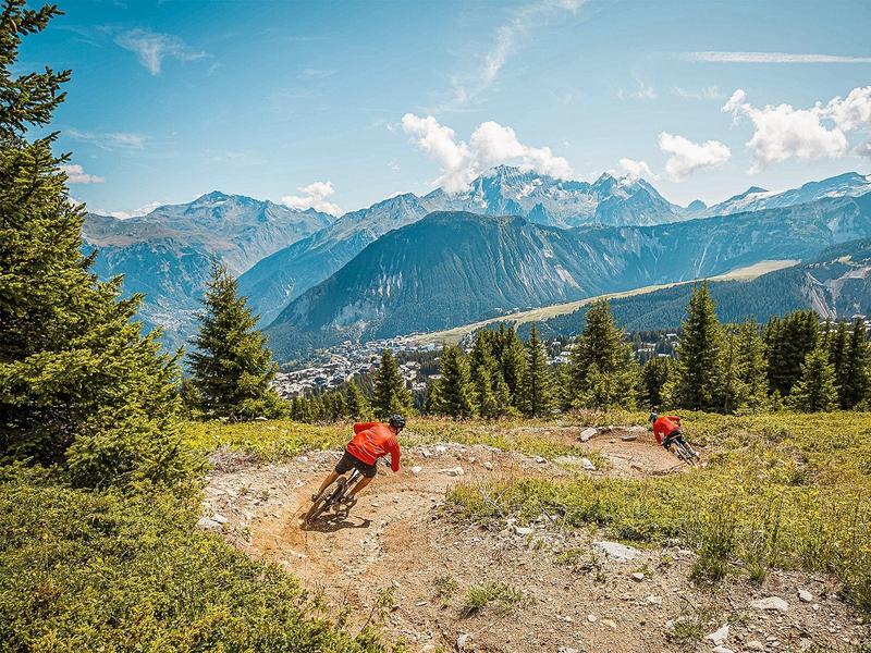
Blue Enduro trail between Courchevel 1850 and Courchevel Moriond.
Services
Rates
Free access.
Period(s) of use
From 01/06 to 30/09
Subject to favorable weather
Home
Pets allowed
Things to discover nearby
Explore our hikes

Pedestrian sports
Chemin de Villarnard
Courchevel
3.2km
Walkers/hikers
0m
580m
This trail leads to the Villarnard hamlet, a classic example of local heritage. Shuttle bus return.

Pedestrian sports
Courchevel
13km
For experts / practiced
1400m
1400m

Pedestrian sports
Circuit des Teppes
Courchevel
3km
Level green – easy
130m
130m
A great place to relax and have a picnic with the added bonus of a view of the Grand Bec, the Tarentaise Valley and the resort of Courchevel La Tania from a viewpoint on the way back. You can do a circuit via the 4x4 track.


