
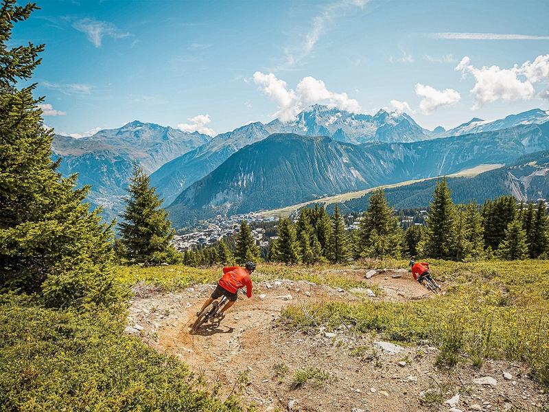
Enduro - Lou Virolets
Access
Starting from :
Latitude :
6.610819
Longitude :
45.417838
Map ref. :
Blue Enduro trail between the top of the La Tania gondola and the center of La Tania.
Services
Rates
Free access.
Period(s) of use
From 01/07 to 31/08
Subject to favorable weather
Home
Pets allowed
Things to discover nearby
Explore our hikes

Pedestrian sports
Crête des Gravelles
Courchevel
3.3km
Level red – hard
270m
270m
Walk to the top of a small summit – a really lovely spot for a picnic (and others) on the shores of the Plan du Vah lake.

Pedestrian sports
Sentier des Verdons
Courchevel
2.8km
Walkers/hikers
10m
320m
This route takes you up in a gondola lift, giving you great views of the Grande Casse (highest peak in the Savoie region: 3,855m). Look out for marmots on the ledge 100 metres from the gondola lift station. Watch out for cyclists and golfers.

Pedestrian sports
Sentier botanique et Cascade des Poux
Courchevel
2.7km
Level green – easy
100m
100m
Being close to water is very relaxing as you walk through the light-filled forest. Look out for a wide range of rare and protected species along the way. Avoid in heavy rain.


