

Tout-Schuss
Access
Starting from :
Latitude :
6.619
Longitude :
45.396383
Map ref. :
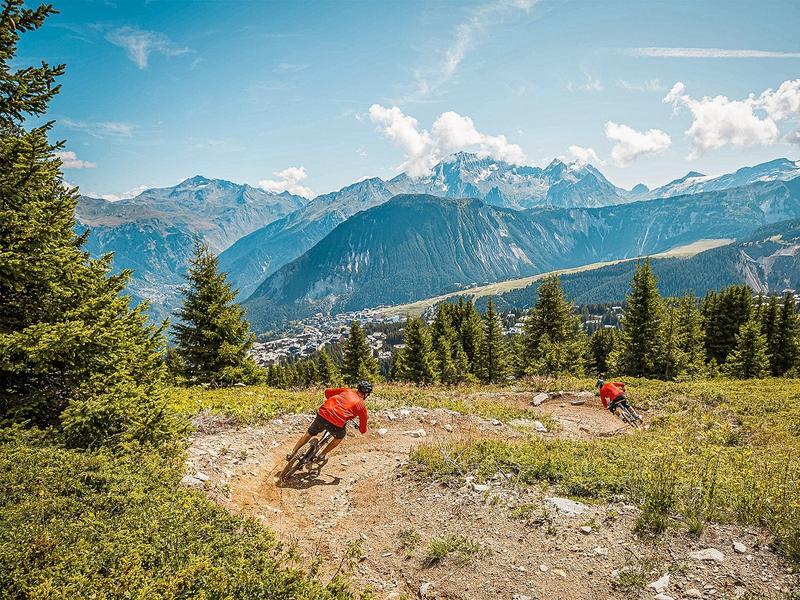
Piste de niveau bleu avec un profil de piste de descente (DH).
Adaptée à tous les niveaux, des personnes qui découvrent le VTT de descente et qui souhaitent passer à l’étape suivante après avoir testé La Godille, jusqu'aux rideurs et rideuses confirmés en recherchent de sensations.
Avec ces dix modules, constitués de gap, tables, step-up, vous pourrez vous perfectionner aux différentes techniques du VTT de descente.
Sur la partie haute du parcours, vous trouverez en parallèle de la piste un enchaînement de modules pour faire des sauts et décoller les roues du sol si vous le souhaitez.
Services
Rates
Free access.
Period(s) of use
From 01/07 to 31/08
Subject to favorable weather
Home
Pets not allowed
Things to discover nearby
Explore our hikes

Pedestrian sports
Jardin Alpin
Courchevel
km
-m
-m
Despite being an urban walk, this route includes a few green spots, and will take you to discover some of the resort’s most beautiful hotels.

Pedestrian sports
Chemin des chevreuils
Courchevel
4.1km
Walkers/hikers
100m
100m
Cut out of the rock face, this footpath links the villages of Le Praz and La Tania and gives you pretty views of villages on the facing mountainside.

Pedestrian sports
Aquamotion
Courchevel
km
-m
-m
The route takes you through the old hamlet of Moriond. Be sure to stop at Aquamotion, the biggest aqua-leisure centre in the mountains.


