
Trail de la dent du Villard - 9km
Access
Starting from :
Latitude :
6.668348
Longitude :
45.407739
Map ref. :
Un trail permanent typé montagne !
Les traileurs y évoluent dans une zone classée Natura 2000, à la géologie unique, où les dolines de gypse donnent un aspect lunaire au parcours.
Services
Rates
Free access.
Period(s) of use
From 01/05 to 31/10
Home
Things to discover nearby
Explore our hikes

Pedestrian sports
Arête de la Saulire - Col du Fruit
Courchevel
10.2km
Walkers/hikers
140m
450m
This route gives you a taste of the high mountainside and the wild natural landscape at the entrance to the Vanoise National park. Amazing panoramic views over the Courchevel and Méribel valleys.

Pedestrian sports
Crête des Gravelles
Courchevel
3.3km
Level red – hard
270m
270m
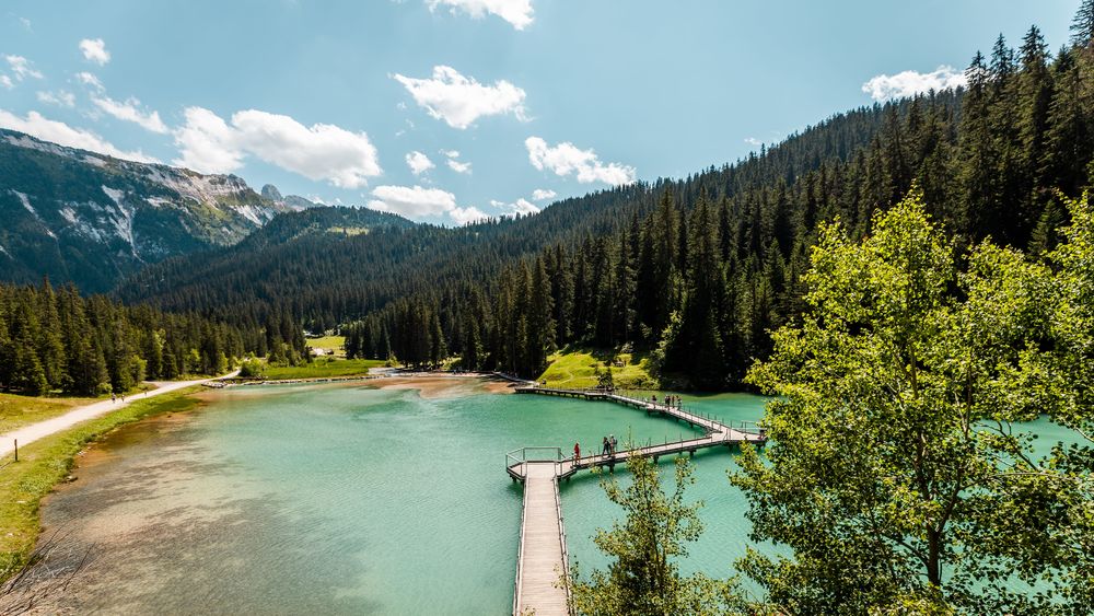
Walk to the top of a small summit – a really lovely spot for a picnic (and others) on the shores of the Plan du Vah lake.

Pedestrian sports
Chemin des chevreuils
Courchevel
4.1km
Level green – easy
100m
100m
Cut out of the rock face, this footpath links the villages of Le Praz and La Tania and gives you pretty views of villages on the facing mountainside.


