

La Godille
Access
Starting from :
Latitude :
6.619
Longitude :
45.396383
Map ref. :
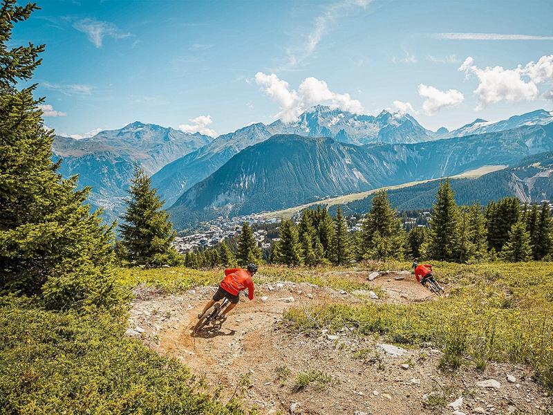
Piste de descente de niveau bleu, en plein alpage, parfaite pour continuer l’apprentissage du VTT de descente.
Enchaînement de virages relevés et mouvements de terrain pour le côté ludique.
Beau cheminement en forêt, sur revêtement alternant passerelles, graviers, racines et quelques modules pour commencer à décoller les roues du sol.
La fin du parcours est commune avec la piste "Tout-Schuss".
Services
Rates
Free access.
Period(s) of use
From 01/07 to 31/08
Subject to favorable weather
Home
Pets not allowed
Things to discover nearby
Explore our hikes

Pedestrian sports
Rocher de Villeneuve
Courchevel
15.7km
Level red – hard
1300m
1300m
This quiet little peak has dazzling panoramic views of the Vanoise glaciers. We recommend that you go back down via Le Col de la Dent.

Pedestrian sports
Combe de la Saulire
Courchevel
6.3km
Level red – hard
0m
930m
From the top of Combe de la Saulire, facing Mont Blanc, view down onto the resort of Courchevel: golf course, Lac du Biollay, altiport. At the bottom of the cable car, fallow the footpath (n°17) to the resort.

Pedestrian sports
Boucle de Mateigena
Courchevel
2.4km
Walkers/hikers
130m
130m
This shortish and rather steep path winds through the forest, taking you to a pretty clearing and some ponds.


