


01 / 03
Via ferrata du lac de la Rosière
Access
Starting from :
Latitude :
6.665761
Longitude :
45.410153
Map ref. :
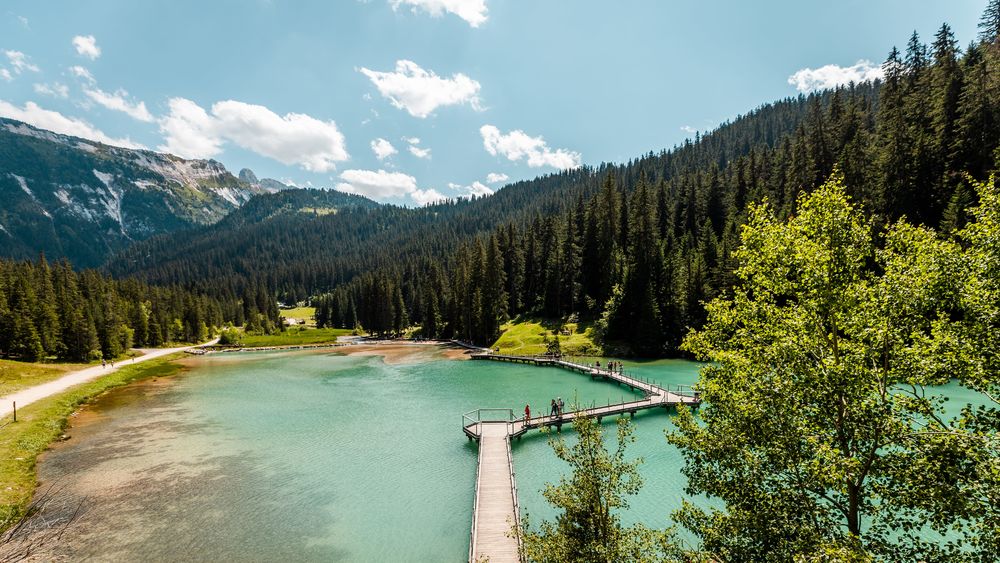
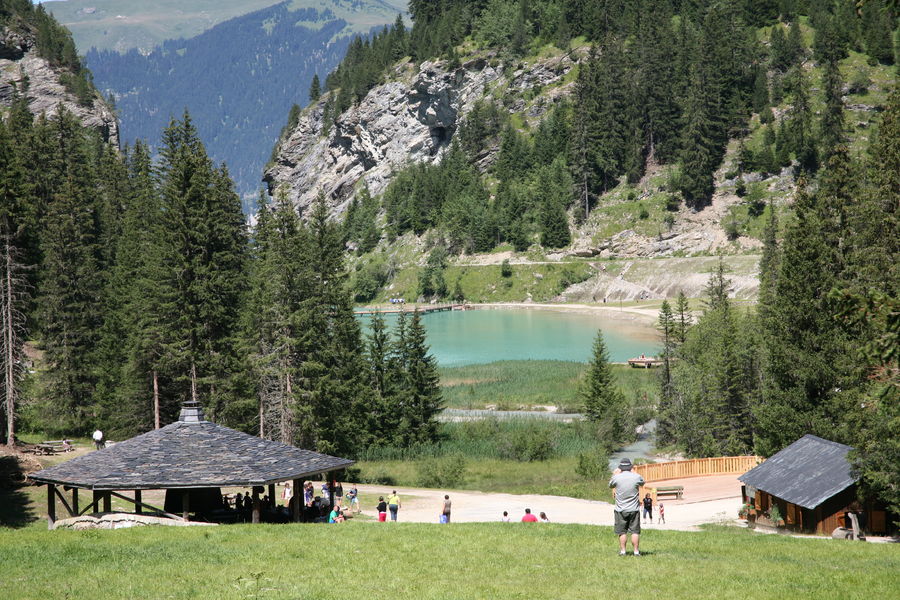
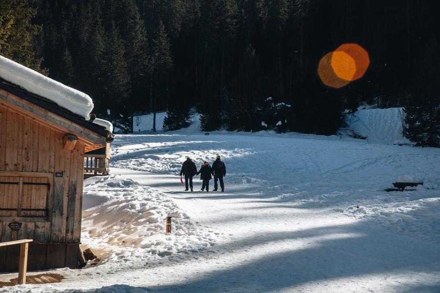
Designed as an introduction to via ferrata, this unusual itinerary overlooks Lac de La Rosière and offers breathtaking views of the surrounding mountains.
Children under 40 kg must be accompanied by a guide.
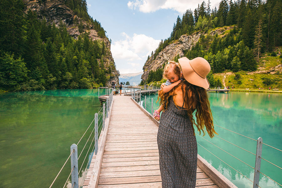
The left-bank cliff begins with a passage overlooking the lake, then continues via a monkey bridge and an ascending traverse.
After crossing the valley on a 65m-long Himalayan footbridge over the dam (a possible escape route), you enter the 2nd cliff on the right bank.
An aesthetic, aerial route leads to the "pont des tafones", then, after a final traverse, the via ferrata ends on a bucolic flat on the edge of the gypsum pine forest.
550 m of ropes, 2 Nepalese bridges and a footbridge.
IMPORTANT
Before embarking on a via ferrata, you must :
- know and apply the safety instructions
- know the main via ferrata hazards
- ascertain the expected level of difficulty and your current physical abilities
- Equip yourself with warm clothing and the appropriate technical equipment (and use it correctly).
- make sure that no components are part of products recalled by manufacturers
Rental equipment available on site: from 10 a.m. to 5 p.m. in July and August, on weekends in June and until September 15.
Please note that rental equipment is not suitable for people weighing less than 40kg.
In case of doubt, don't hesitate to ask a professional mountain guide to accompany you.
Services
Rates
Free access.
Period(s) of use
From 01/06 to 30/09
Subject to favorable weather
Home
Pets not allowed
1/3

Things to discover nearby
Explore our hikes

Pedestrian sports
Crêtes du Mont Charvet
Courchevel
11km
Walkers/hikers
830m
830m
This high-level walk takes you past sinkholes and offers amazing panoramic views. When you get to Le Biol, you’ll see a stone - the remains of the old mountain hut that was carried away by an avalanche in 1999.

Pedestrian sports
Circuit des Teppes
Courchevel
3km
Level green – easy
130m
130m
A great place to relax and have a picnic with the added bonus of a view of the Grand Bec, the Tarentaise Valley and the resort of Courchevel La Tania from a viewpoint on the way back. You can do a circuit via the 4x4 track.

Pedestrian sports
Courchevel
9km
940m
940m


