


01 / 02
La Rosière lake loop
Access
Starting from :
Latitude :
6.659863
Longitude :
45.41031
Map ref. :
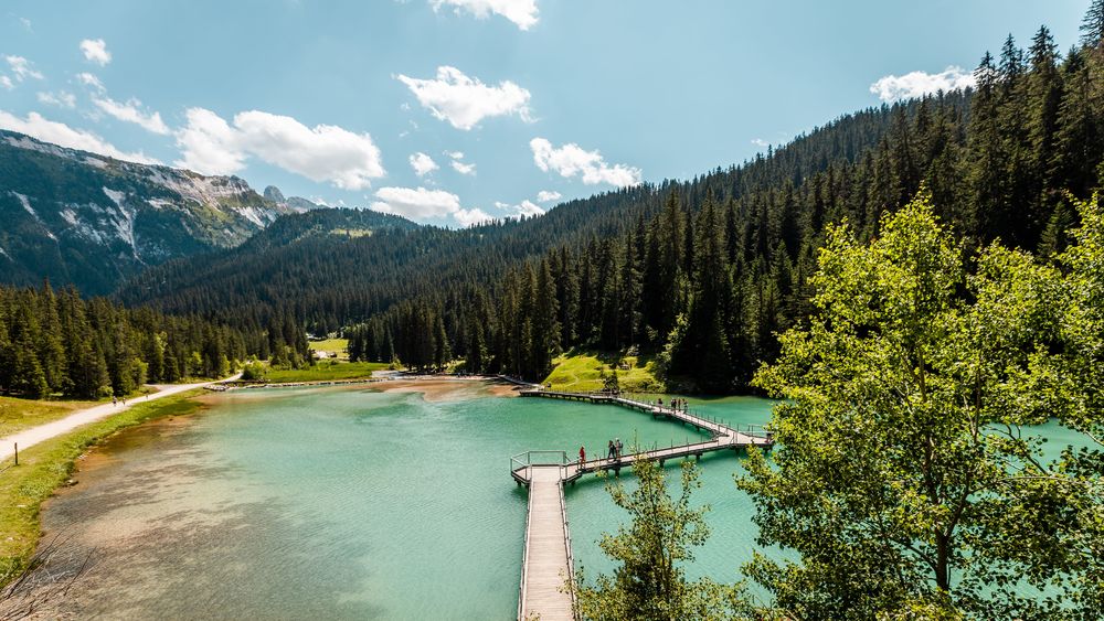
This snowshoe trail takes you through an untamed landscape to the imposing Lac de la Rosière, with the majestic Dent du Villard looming in the background.
Access to the starting point by free shuttle bus (Roc Sabal stop) or on foot from the Courchevel Moriond snow front (itinerary I).
From the Roc Sabal bend, follow the wide groomed path that runs flat into the forest for 750m. Look for a small path that descends to the left into the Laition forest. This leads to the Lac de la Rosière path. Immediately turn right onto a small path that cuts through the forest to reach the bottom of the valley, with a view of the lake. Close to the large barbecue, take a path that goes deep into the forest and then climbs steeply upwards. At the first crossroads, turn right and then, 50 m further on, left along a steep path that continues to climb through the forest.
This leads to the wide Chemin de la Rosière, which you follow up to the Route du Belvédère at the Miléade club village. Turn left up the road to the starting point.
Be careful not to park at the foot of the Dent du Villard avalanche paths.
Services
Rates
Free of charge.
Period(s) of use
From 01/12 to 30/04
Subject to favorable weatherSubject to snow conditions
Home
Pets allowed
1/2

Things to discover nearby
Explore our hikes

Pedestrian sports
24 - Sandraz - Bois du Ban (été)
Courchevel
3.4km
Walkers/hikers
90m
140m
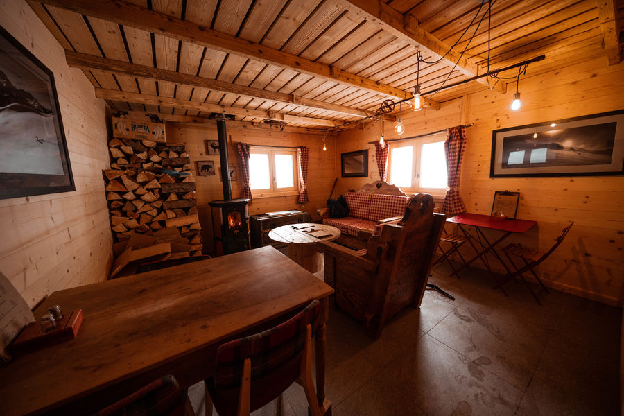
This path takes you to Kamelot Camp amongst the fir trees, where you can refuel at the little Canadian-style cabin and sample fun, original activities at the lake.

Pedestrian sports
Contemplation trail
Courchevel
1.6km
Walkers/hikers
135m
135m
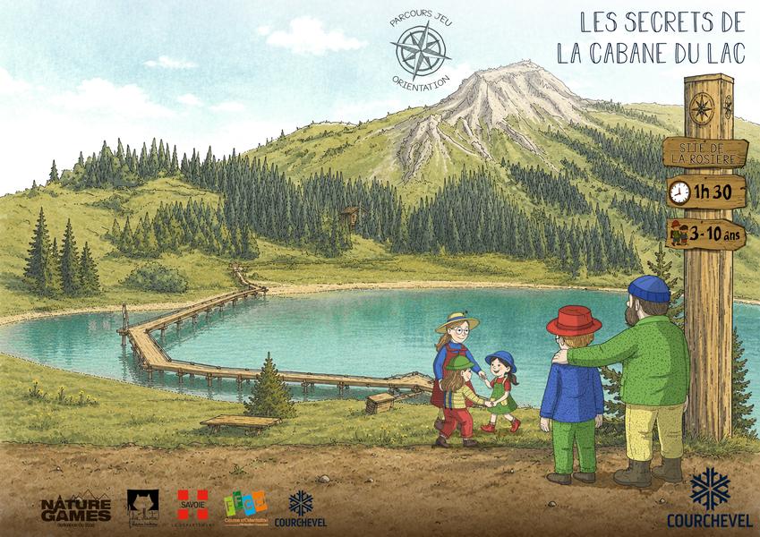
This original trail, designed for a wide audience, invites walkers to discover nature in the heart of the Mateigena forest, in a sensitive and immersive way.

Pedestrian sports
Sentier botanique et Cascade des Poux Forêt du Laition
Courchevel
4.8km
Walkers/hikers
230m
230m
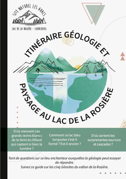
The newt pond: stop off and take the time to observe this amphibian emblematic of wetlands. Be discreet so that it comes out of its hiding place. Warning: the alpine newt is a vulnerable and protected species in France!


