


01 / 03
Itinéraire géologie et paysage au lac de la Rosière
Access
Starting from :
Latitude :
6.6673
Longitude :
45.408781
Map ref. :
D’où viennent ces grands ravins blancs de la Dent du Villard qui captent si bien la lumière ?
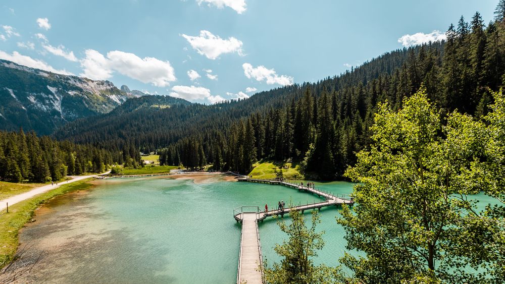
Comment ce lac bleu turquoise s’est-il formé ? Est-il ancien ? D'où sortent les surprenantes sources et cascades ?
Tant de questions sur ce lieu enchanteur auxquelles la géologie peut essayer de répondre !
Services
Rates
Free access.
Period(s) of use
From 01/05 to 31/10
Subject to favorable weather
Home
1/3

Things to discover nearby
Explore our hikes

Pedestrian sports
Courchevel
11km
Medium
335m
335m

Pedestrian sports
24 - Sandraz - Bois du Ban (été)
Courchevel
3.4km
Walkers/hikers
90m
140m
This path takes you to Kamelot Camp amongst the fir trees, where you can refuel at the little Canadian-style cabin and sample fun, original activities at the lake.

Pedestrian sports
Chemin des chevreuils
Courchevel
4.1km
Walkers/hikers
100m
100m
Cut out of the rock face, this footpath links the villages of Le Praz and La Tania and gives you pretty views of villages on the facing mountainside.


