
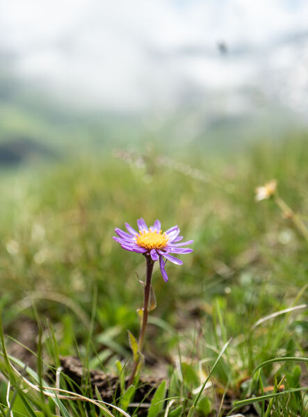
Rocher de Villeneuve
Access
Starting from :
Latitude :
6.668345
Longitude :
45.407716
Map ref. :
This quiet little peak has dazzling panoramic views of the Vanoise glaciers.
We recommend that you go back down via Le Col de la Dent.
Lac de la Rosière Car Park
By shuttle bus (line H), go to the end of the line and get off at the “Lac de la Rosière” stop.
By car, turn left at the first roundabout as you come into Courchevel Moriond, take several sharp bends heading towards Belvédère and take “Route de la Rosière” going downhill on the left, on the same level as the hiking symbol, just after Le Zenith hotel.
It can sometimes be difficult to park at La Rosière, so we recommend that you park at the Cimes Blanches car park (free covered car park in summer) in Courchevel Moriond, and take a shuttle bus that will drop you right at the site entrance.
Services
Rates
Free of charge.
Period(s) of use
From 01/05 to 31/10From 01/05 to 31/10
Subject to favorable weather
Home
Pets allowed
Things to discover nearby
Explore our hikes

Pedestrian sports
Petit Mont Blanc
Courchevel
20.2km
Level red – hard
970m
970m
Enjoy 360° panoramic views from the Vanoise glaciers to Mont Blanc. The peak takes its name from its rounded shape, similar to that of its big brother, and the gypsum that looks like snow.

Pedestrian sports
Abri du Bec de l'Aigle
Courchevel
2.6km
Walkers/hikers
170m
170m
There is a Mediterranean forest feel to this route, which takes you to a stone shelter.

Pedestrian sports
Sentier découverte du Grand Bois
Courchevel
3.5km
Walkers/hikers
20m
510m
Take the gondola lift up to the top and read up about the area on the signs along the way: snow, avalanches, ants, spruce trees, Alpine meadows, countryside, fauna, flora and the built environment.


