

Trail de la dent du Villard - 13km
Access
Starting from :
Latitude :
6.668348
Longitude :
45.407739
Map ref. :
Un trail permanent typé montagne !
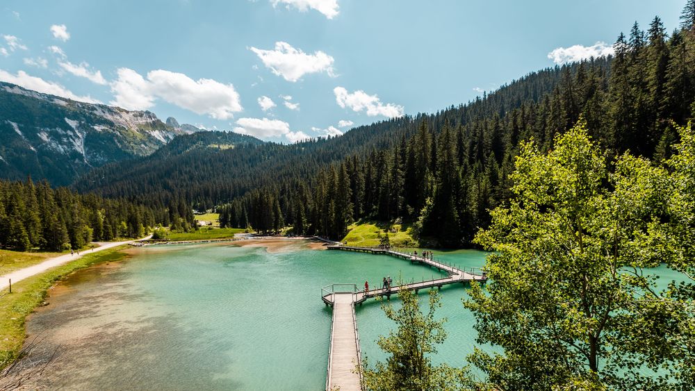
Au départ du lac de la Rosière à la découverte de l’un des sommets les plus emblématiques de la vallée : la dent du Villard.
Les traileurs y évoluent dans une zone classée Natura 2000, à la géologie unique, où les dolines de gypse donnent un aspect lunaire au parcours. Dépaysement assuré avec l’ascension de ce sommet à 2 284 m d’altitude, offrant un panorama à 360° sur les glaciers de la Vanoise.
Services
Rates
Free access.
Period(s) of use
From 01/05 to 31/10
Home
Things to discover nearby
Explore our hikes

Pedestrian sports
Brèche de Portetta
Courchevel
11.4km
Walkers/hikers
830m
830m
See the Savoie region’s very own little Dolomites: explore the mineral-rich environment between the tall needles of rock. Watch out for snow fields at the start of the season. Don’t leave your car for too long at the foot of the rock face (danger of rock falls).

Pedestrian sports
Le Grenier, Le Fay, Les Moulins
Courchevel
5.4km
Walkers/hikers
230m
240m
This circular hike can be extended to include three other hamlets or even Lac de Bozel, for the more daring among you.

Pedestrian sports
Sentier botanique et Cascade des Poux
Courchevel
2.7km
Level green – easy
100m
100m
Being close to water is very relaxing as you walk through the light-filled forest. Look out for a wide range of rare and protected species along the way. Avoid in heavy rain.


